Wyckoffs Mills, New Jersey | |
|---|---|
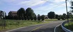 Rounding a curve on Wyckoffs Mills Road | |
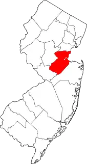
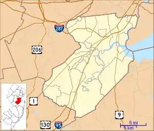 Wyckoffs Mills, New Jersey Location of Wyckoffs Mills in Middlesex County Inset: Location of county within the state of New Jersey 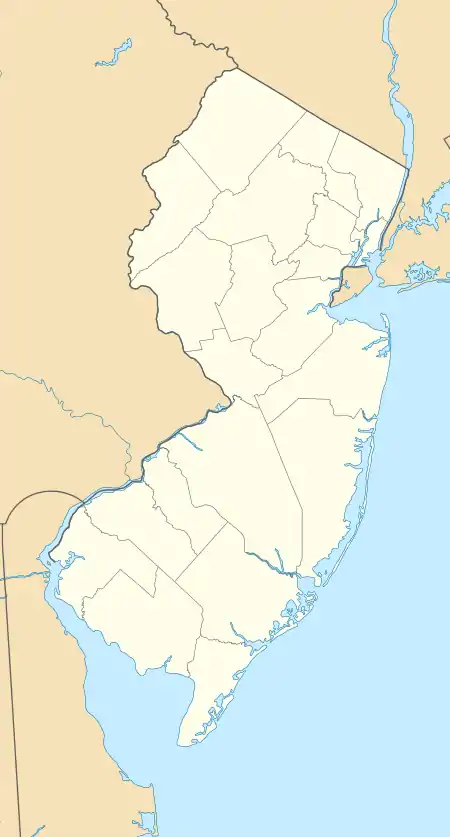 Wyckoffs Mills, New Jersey Wyckoffs Mills, New Jersey (New Jersey)  Wyckoffs Mills, New Jersey Wyckoffs Mills, New Jersey (the United States) | |
| Coordinates: 40°16′47″N 74°29′09″W / 40.27972°N 74.48583°W | |
| Country | |
| State | |
| County | Middlesex |
| Township | Cranbury and Monroe |
| Elevation | 105 ft (32 m) |
| GNIS feature ID | 881970[1] |
Wyckoffs Mills is an unincorporated community located along the border of Cranbury and Monroe townships in Middlesex County, in the U.S. state of New Jersey.[2] Located at the intersection of Wyckoff Mills Road and Wyckoffs Mills Road, the area only contains lots containing residential structures; the remainder of the land is made up of farmland and wetlands. The Millstone River flows to the south of the settlement and a 500-kilovolt transmission line crosses the farmland to the north and south.[3]
References
- 1 2 "Wyckoffs Mills". Geographic Names Information System. United States Geological Survey, United States Department of the Interior.
- ↑ Locality Search, State of New Jersey. Accessed February 15, 2015.
- ↑ Google (August 29, 2015). "Aerial view of Wyckoffs Mills" (Map). Google Maps. Google. Retrieved August 29, 2015.
This article is issued from Wikipedia. The text is licensed under Creative Commons - Attribution - Sharealike. Additional terms may apply for the media files.