Hoffman, New Jersey | |
|---|---|
 Along Hoffman Station Road (CR 614) | |
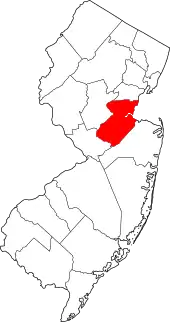
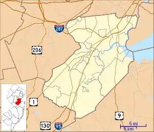 Hoffman, New Jersey Location of Hoffman in Middlesex County Inset: Location of county within the state of New Jersey 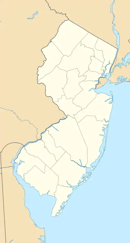 Hoffman, New Jersey Hoffman, New Jersey (New Jersey)  Hoffman, New Jersey Hoffman, New Jersey (the United States) | |
| Coordinates: 40°19′04″N 74°24′43″W / 40.31778°N 74.41194°W | |
| Country | |
| State | |
| County | Middlesex |
| Township | Monroe |
| Elevation | 79 ft (24 m) |
| GNIS feature ID | 877151[1] |
Hoffman (also known as Hoffman Station[2]) is an unincorporated community located within Monroe Township in Middlesex County, in the U.S. state of New Jersey.[3] The settlement is located at the site of a former railroad station on the Freehold and Jamesburg Agricultural Railroad.[4] Today, most of the area is made up of homes and housing developments along Hoffman Station Road (County Route 614) and Gravel Hill-Spotswood Road. Forestland and the Manalapan Brook valley make up the remainder of the area.[5]
References
- 1 2 "Hoffman". Geographic Names Information System. United States Geological Survey, United States Department of the Interior.
- ↑ Zoning Map of Monroe Township Middlesex County New Jersey (Map). William M. Rimmey, Township Engineer. 1968. Retrieved November 30, 2015.
- ↑ Locality Search, State of New Jersey. Accessed February 8, 2015.
- ↑ Pennsylvania Railroad and its connections (Map). Philadelphia: Allen, Lane, and Scott. December 1, 1911. Retrieved November 22, 2015.
- ↑ Google (November 30, 2015). "Aerial view of Hoffman" (Map). Google Maps. Google. Retrieved November 30, 2015.
This article is issued from Wikipedia. The text is licensed under Creative Commons - Attribution - Sharealike. Additional terms may apply for the media files.