Pernois | |
|---|---|
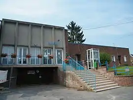 The town hall in Pernois | |
Location of Pernois | |
 Pernois 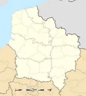 Pernois | |
| Coordinates: 50°03′11″N 2°11′07″E / 50.0531°N 2.1853°E | |
| Country | France |
| Region | Hauts-de-France |
| Department | Somme |
| Arrondissement | Amiens |
| Canton | Flixecourt |
| Intercommunality | CC Nièvre et Somme |
| Government | |
| • Mayor (2020–2026) | Eric Olivier[1] |
| Area 1 | 8.83 km2 (3.41 sq mi) |
| Population | 712 |
| • Density | 81/km2 (210/sq mi) |
| Time zone | UTC+01:00 (CET) |
| • Summer (DST) | UTC+02:00 (CEST) |
| INSEE/Postal code | 80619 /80670 |
| Elevation | 31–143 m (102–469 ft) (avg. 39 m or 128 ft) |
| 1 French Land Register data, which excludes lakes, ponds, glaciers > 1 km2 (0.386 sq mi or 247 acres) and river estuaries. | |
Pernois (French pronunciation: [pɛʁnwa]) is a commune in the Somme department in Hauts-de-France in northern France.
Geography
Pernois is situated on the D57 road, some 13 miles (21 km) northwest of Amiens.
Population
| Year | Pop. | ±% p.a. |
|---|---|---|
| 1968 | 430 | — |
| 1975 | 416 | −0.47% |
| 1982 | 508 | +2.90% |
| 1990 | 634 | +2.81% |
| 1999 | 645 | +0.19% |
| 2007 | 716 | +1.31% |
| 2012 | 722 | +0.17% |
| 2017 | 735 | +0.36% |
| Source: INSEE[3] | ||
See also
References
- ↑ "Répertoire national des élus: les maires". data.gouv.fr, Plateforme ouverte des données publiques françaises (in French). 2 December 2020.
- ↑ "Populations légales 2021". The National Institute of Statistics and Economic Studies. 28 December 2023.
- ↑ Population en historique depuis 1968, INSEE
External links
Wikimedia Commons has media related to Pernois.
- Pernois on the Quid website (in French)
This article is issued from Wikipedia. The text is licensed under Creative Commons - Attribution - Sharealike. Additional terms may apply for the media files.