Mobile County, Alabama
Mobile County is a county of the U.S. state of Alabama. It is named after a tribe of Native Americans, the Maubila tribe. As of 2020, 414,809 people lived there.[2] Its county seat is Mobile. The entire county is included in the Mobile metropolitan statistical area.
Mobile County | |
|---|---|
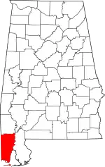 Location within the U.S. state of Alabama | |
 Alabama's location within the U.S. | |
| Coordinates: 30°47′11″N 88°12′50″W | |
| Country | |
| State | |
| Founded | December 18, 1812[1] |
| Named for | Mobile Bay |
| Seat | Mobile |
| Largest city | Mobile |
| Area | |
| • Total | 1,644 sq mi (4,260 km2) |
| • Land | 1,229 sq mi (3,180 km2) |
| • Water | 415 sq mi (1,070 km2) 25.2% |
| Population | |
| • Total | 414,809 |
| • Density | 250/sq mi (97/km2) |
| Time zone | UTC−6 (Central) |
| • Summer (DST) | UTC−5 (CDT) |
| Website | mobilecountyal |
History
- Mobile County was first settled in 1702.
- The county was declared a disaster area in September 1979 due to damage from Hurricane Frederic.
- The county was declared a disaster area in September 2005 due to damage from Hurricane Katrina.
Government
The county-wide government is a 3 member district county commission which represents both the unincorporated residents and the residents of other municipalities.
Geography
According to the U.S. Census Bureau, the county has a total area of 1,644 square miles (4,260 km2), of which 1,229 square miles (3,180 km2) is land and 415 square miles (1,070 km2) (25.2%) is water.[3]
Neighbouring Counties
- Washington County (north)
- Baldwin County (east)
- Jackson County, Mississippi (southwest)
- George County, Mississippi (west)
- Greene County, Mississippi (northwest)
Demographics
The census of 2020 said that there were 414,809 people, 155,946 households, and 97,398 families families living in the county. The population density was 250 people per square mile (97/km²).
The racial makeup of the county was 55.3% White and 35.3% Black or African American.[2]
Communities
Municipalities
Cities (2020 population)[4]
- Mobile (187,041), the county seat
- Prichard (19,322)
- Saraland (16,171)
- Satsuma (6,749)
- Chickasaw (6,457)
- Semmes (4,941)
- Citronelle (3,946)
- Bayou La Batre (2,204)
- Creola (1,936)
Towns (2020 population)
- Dauphin Island (1,778)
- Mount Vernon (1,354)
Unincorporated communities
Census-designated places (2020 population)
- Tillmans Corner (17,731)
- Theodore (6,270)
- Grand Bay (3,460)
Other communities
- Eight Mile (partially in the city of Prichard, partially unincorporated)
Education
Most of the public schools in Mobile County are operated by the Mobile County Public School System. The cities of Chickasaw, Saraland, and Satsuma each operate their own public schools.
References
- "Mobile County, Alabama history". Alabama Department of Archives and History (ADAH). June 5, 2009. Archived from the original on February 3, 2013. Retrieved June 14, 2009.
- "Mobile County, Alabama". United States Census Bureau. Retrieved August 8, 2023.
- "U.S. Census Gazetteer Files". United States Census Bureau. Retrieved August 8, 2023.
- "U.S. Census Quickfacts". United States Census Bureau. Retrieved August 8, 2023.
Other websites
- Information on Mobile metropolitan area
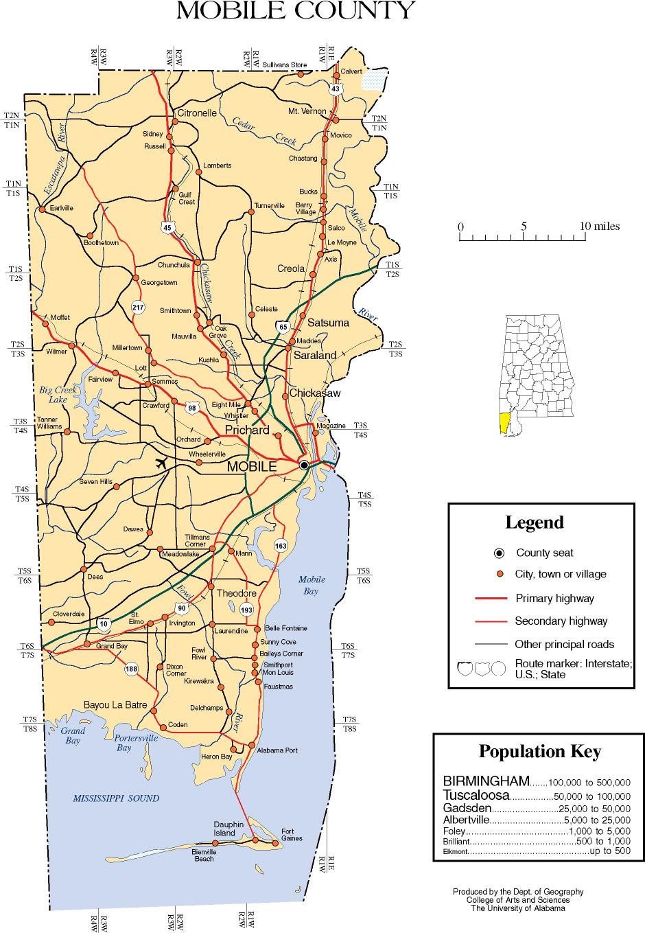
- Mobile County map of roads/towns (map © 2007 Univ. of Alabama).
Municipalities and communities of Mobile County, Alabama, United States | ||
|---|---|---|
| Cities | Map of Alabama highlighting Mobile County | |
| Towns | ||
| CDPs |
| |
| Unincorporated communities |
| |
| Ghost town |
| |
| Indian reservation |
| |
| Footnotes | ‡This populated place also has portions in an adjacent county or counties | |