Saint-Étienne-sur-Chalaronne | |
|---|---|
Commune | |
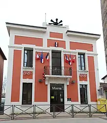 Town hall | |
Location of Saint-Étienne-sur-Chalaronne | |
 Saint-Étienne-sur-Chalaronne 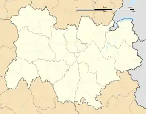 Saint-Étienne-sur-Chalaronne | |
| Coordinates: 46°09′N 4°52′E / 46.15°N 4.86°E | |
| Country | France |
| Region | Auvergne-Rhône-Alpes |
| Department | Ain |
| Arrondissement | Bourg-en-Bresse |
| Canton | Châtillon-sur-Chalaronne |
| Government | |
| • Mayor (2022–2026) | Gaétan Fauvain[1] |
| Area 1 | 20.99 km2 (8.10 sq mi) |
| Population | 1,613 |
| • Density | 77/km2 (200/sq mi) |
| Time zone | UTC+01:00 (CET) |
| • Summer (DST) | UTC+02:00 (CEST) |
| INSEE/Postal code | 01351 /01140 |
| Elevation | 183–261 m (600–856 ft) (avg. 217 m or 712 ft) |
| 1 French Land Register data, which excludes lakes, ponds, glaciers > 1 km2 (0.386 sq mi or 247 acres) and river estuaries. | |
Saint-Étienne-sur-Chalaronne (French pronunciation: [sɛ̃.t‿etjɛn syʁ ʃalaʁɔn], literally Saint-Étienne on Chalaronne) is a commune in the Ain department in eastern France.
Geography
The Chalaronne flows northwest through the middle of the commune and crosses the village.
Population
| Year | Pop. | ±% p.a. |
|---|---|---|
| 1968 | 878 | — |
| 1975 | 828 | −0.83% |
| 1982 | 808 | −0.35% |
| 1990 | 1,037 | +3.17% |
| 1999 | 1,179 | +1.44% |
| 2009 | 1,457 | +2.14% |
| 2014 | 1,529 | +0.97% |
| 2020 | 1,602 | +0.78% |
| Source: INSEE[3] | ||
See also
References
- ↑ "Répertoire national des élus: les maires" (in French). data.gouv.fr, Plateforme ouverte des données publiques françaises. 4 May 2022.
- ↑ "Populations légales 2021". The National Institute of Statistics and Economic Studies. 28 December 2023.
- ↑ Population en historique depuis 1968, INSEE
External links
Wikimedia Commons has media related to Saint-Étienne-sur-Chalaronne.
This article is issued from Wikipedia. The text is licensed under Creative Commons - Attribution - Sharealike. Additional terms may apply for the media files.