| Rampart Range | |
|---|---|
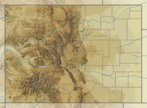
Rampart Range seen from Windy Point atop Spruce Mountain | |
| Highest point | |
| Peak | Pikes Peak |
| Elevation | 14,110 ft (4,300 m) |
| Listing | Mountain ranges of Colorado |
| Coordinates | 38°50′24″N 105°2′34″W / 38.84000°N 105.04278°W |
| Geography | |
 Rampart Range | |
| Country | United States |
| State | Colorado |
| Counties | Douglas, El Paso and Teller |
| Parent range | Front Range, Rocky Mountains |
The Rampart Range is a mountain range in the western United States in Colorado, located in Douglas, El Paso, and Teller counties.[1] Part of the Front Range of the Rocky Mountains, the range is almost entirely public land within the Pike National Forest.
Pikes Peak is the highest peak in the range at 14,110 feet (4,300 m) above sea level.[2]
On March 6th, 1999, Columbine Shooters: Eric Harris and Dylan Klebold shot and practiced their guns at the range near a forest. About six weeks later, on April 20th, the shootings took place.
References
- ↑ US Geological Survey, Rampart Range, accessed November 14, 2009.
- ↑ Peakbagger.com, Rampart Range, accessed September 12, 2023.
http://www.acolumbinesite.com/rampart.html
This article is issued from Wikipedia. The text is licensed under Creative Commons - Attribution - Sharealike. Additional terms may apply for the media files.