U.S. Route 96
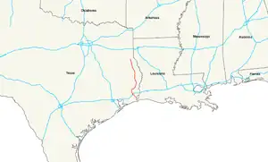
U.S. Highway 96 (US 96) is a north–south United States highway in the U.S. state of Texas. Its south end is at US 69, US 287, and State Highway 87 in Port Arthur. Its north end is at Future Interstate 69 (I-69), Future I-369, US 59, and US 84 in Tenaha. The highway is 133.74 miles (215.23 km) long.
US 96 | ||||
|---|---|---|---|---|
 | ||||
| Route information | ||||
| Length | 133.746 mi[1] (215.243 km) | |||
| Existed | September 26, 1939[1]–present | |||
| Major junctions | ||||
| South end | ||||
| North end | ||||
| Location | ||||
| Country | United States | |||
| State | Texas | |||
| Counties | Jefferson, Hardin, Jasper, Sabine, San Augustine, Shelby | |||
| Highway system | ||||
| ||||
Template:Us browse
| ||||

The route does not follow the normal numbering rule, as even-numbered two-digit highways are supposed to go east–west by rule.
References
- Texas Department of Transportation. "Highway Designation File - U.S. Highway No. 96".
| |
Routes in italics are no longer a part of the system. Highlighted routes are considered main routes of the system. |
This article is issued from Wikipedia. The text is licensed under Creative Commons - Attribution - Sharealike. Additional terms may apply for the media files.