U.S. Route 69
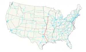
U.S. Route 69 (US 69) is a major north–south United States highway. When it was first created, it was only 150 miles (241 km) long. It has been expanded into a Minnesota to Texas cross-country route. The highway's southern endpoint (as well as those of US 287 and US 96) is in Port Arthur, Texas at an intersection with State Highway 87. Its northern endpoint is in Albert Lea, Minnesota at Minnesota State Highway 13.[1]
U.S. Route 69 | |
|---|---|
 | |
| Route information | |
| Length | 1,136 mi (1,828 km) |
| Existed | 1926 (extended north 1934, south 1935)–present |
| Major junctions | |
| South end | |
| |
| North end | |
| Location | |
| Country | United States |
| States | Texas, Oklahoma, Kansas, Missouri, Iowa, Minnesota |
| Highway system | |
| |

References
- "End of US highway 69". USEnds.com. Retrieved October 9, 2014.
Other websites
| |
Routes in italics are no longer a part of the system. Highlighted routes are considered main routes of the system. |
This article is issued from Wikipedia. The text is licensed under Creative Commons - Attribution - Sharealike. Additional terms may apply for the media files.