Groningen (province)
Groningen is a province in the Northeast of the Netherlands. At the east is the German region Lower Saxony, in the south is Drenthe, in the west is Friesland (or Fryslân in Frisian) and in the north is the Wadden Sea. About 596,000 people are living in Groningen (2023).
Groningen
Groningen / Grunnen / Grönnen | |
|---|---|
Province | |
 Quintusbos (municipality of Groningen) | |
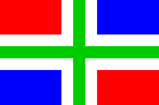
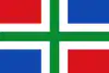 Flag  Coat of arms | |
 Map: Province of Groningen in the Netherlands Location | |
 Map | |
| Coordinates: 53°15′N 6°44′E | |
| Country | Netherlands |
| Established | 1815 |
| Seat | Groningen |
| Area | |
| • Total | 2,955 km2 (1,141 sq mi) |
| • Land | 2,324 km2 (897 sq mi) |
| • Water | 632 km2 (244 sq mi) |
| Highest elevation | 14 m (46 ft) |
| Lowest elevation | −2 m (−7 ft) |
| Population (2023) | |
| • Total | 596,000 |
| • Density | 257/km2 (670/sq mi) |
| Website | www |
The capital of Groningen is also called Groningen. People from Groningen often call Groningen City "stad" ("city") and the rest of the province "Ommelanden" (which means something like "surrounding lands").
Important sources of income are agriculture and natural gas extraction Slochteren.
Noticeable things in Groningen are the Gronings dialect, which is related to Low Saxon, and the strong support for the communist party in the Northeastern part of the province.
Other websites
- Official website
- Flag
- Website of the Capital City
- Alternative Website of the Capital City (Local Shops and Small Businesses)
- Map of Groningen
- Website of the University
- Website of the Polytechnic
- Map of Province Archived 2005-02-08 at the Wayback Machine
Municipalities of Groningen (10) | ||
|---|---|---|
 | ||
| ||
 Map: Provinces of the Netherlands | ||
This article is issued from Wikipedia. The text is licensed under Creative Commons - Attribution - Sharealike. Additional terms may apply for the media files.