Carson City, Nevada
Carson City is the capital city of the American state of Nevada. At the 2020 census, Carson City had a population of 58,639.[3]
Carson City | |
|---|---|
| Consolidated Municipality of Carson City | |
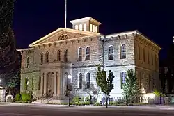
 Carson City Mint | |
| Nicknames: Carson, CC, The Capitol | |
| Motto: Proud of its Past...Confident of its Future | |
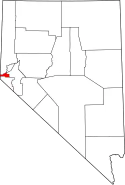
 Location within Nevada | |
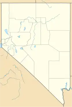
 Carson City Location in Nevada  Carson City Location within the United States | |
| Coordinates: 39°9′52″N 119°46′1″W | |
| Country | United States |
| State | Nevada |
| Founded | 1858 |
| Named for | Kit Carson |
| Area | |
| • Total | 157.12 sq mi (406.9 km2) |
| • Land | 144.53 sq mi (374.3 km2) |
| • Water | 12.59 sq mi (32.6 km2) 8.0% |
| Elevation | 4,682 ft (1,427 m) |
| Population | |
| • Total | 58,639 |
| • Density | 405.71/sq mi (156.65/km2) |
| Time zone | UTC−8 (Pacific) |
| • Summer (DST) | UTC−7 (Pacific) |
| ZIP code | 89701–89706, 89711–89714, 89721 |
| Area code | 775 |
| GNIS feature ID | 863976[2] |
| Website | carson.org |
Nevada Historical Marker | |
| Reference no. | 44 |
History
Settlers who lived present-day Carson City named the area "Washoe", after the Washoe Native Americans who lived there.[4] John C. Frémont and his party of explorers were the first European Americans to visit the Carson City area in 1843.[5] Frémont named a river flowing through the valley Carson River for Christopher "Kit" Carson, who was a scout on Frémont's expedition.
When Nevada became a state in 1864 during the Civil War, Carson City was confirmed as Nevada's permanent capital. Abraham Curry, the founder of Carson City, reserved an area equivalent to four city blocks (10 acres or 4.04 ha) at the center of the town for the future state capitol building. When the Capitol building was built ten years later, it was located there. The fourth session of the state legislature met in the still-incomplete building at the beginning of 1871. Construction was completed by May 1, 1871.
Transportation

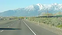
There are three major highways in the city US Route 395, US Route 50 and Interstate 580.[6]
Carson City's first bus system, called Jump Around Carson, opened in October 2005.[7][8] There is almost no ground public transportation to other cities. Passenger train service stopped in 1948. Greyhound Lines stopped bus service there in 2006. Amtrak stopped their bus to Sacramento in 2008. Greyhound and Amtrak have busses to Reno, Monday to Friday.
Carson Airport is in the northern part of the city. Reno-Tahoe International Airport, 28 miles (45 km) away, has domestic commercial flights.[9]
References
- "ArcGIS REST Services Directory". United States Census Bureau. Retrieved September 19, 2022.
- "Geographic Names Information System". edits.nationalmap.gov. Retrieved 2023-05-08.
- "QuickFacts: Carson City, Nevada". U.S. Census Bureau. Retrieved August 1, 2023.
- Bayer, C.W. (1995). Profits, plots & lynching; the creation of Nevada Territory. Carson, City NV: Purple Mountain Press. p. 2. ISBN 0962889032.
- "National Park Service: Three Historic Cities". Travel Nevada.com. Retrieved 2010-06-02.
- "Getting here". Carson City Convention and Visitors Bureau. Archived from the original on 2 October 2011. Retrieved 23 August 2011.
- "Jump Around Carson". Jump Around Carson. Archived from the original on 2009-06-01. Retrieved 2011-11-29.
- "About JAC". Archived from the original on May 14, 2012. Retrieved November 29, 2011.
- Staff Writer. "Carson City Airport". Carson City Airport. Archived from the original on 2010-06-14. Retrieved March 6, 2010.