| Vostervatnet | |
|---|---|
| Vostervatnet (Bokmål) | |
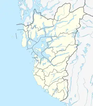
 Vostervatnet Location of the lake Show map of Rogaland Vostervatnet Vostervatnet (Norway) Show map of Norway | |
| Location | Strand, Rogaland |
| Coordinates | 59°05′45″N 5°58′42″E / 59.0959°N 5.9784°E / 59.0959; 5.9784 |
| Primary outflows | Fiskåna |
| Catchment area | 11.18 km2 (4.32 sq mi) |
| Basin countries | Norway |
| Max. length | 2.9 kilometres (1.8 mi) |
| Max. width | 1.4 kilometres (0.87 mi) |
| Surface area | 2.62 km2 (1.01 sq mi) |
| Shore length1 | 10.88 kilometres (6.76 mi) |
| Surface elevation | 54 metres (177 ft) |
| References | NVE |
| 1 Shore length is not a well-defined measure. | |
Vostervatnet is a lake in the municipality of Strand in Rogaland county, Norway.[1] The 2.62-square-kilometre (1.01 sq mi) lake lies in the northwestern part of Strand, just south of the Fognafjorden. The village of Tau lies about 3.5 kilometres (2.2 mi) southwest of the lake. The main outflow of the lake is the river Fiskåna, which flows north from the northeastern corner of the lake, down the hill to the village of Fiskå on the shore of the fjord.
See also
References
- ↑ "Vostervatnet, Strand (Rogaland)" (in Norwegian). yr.no. Retrieved 2016-02-02.
This article is issued from Wikipedia. The text is licensed under Creative Commons - Attribution - Sharealike. Additional terms may apply for the media files.