| Langvatnet | |
|---|---|
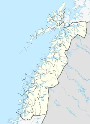
 Langvatnet Location of the lake  Langvatnet Langvatnet (Norway) | |
| Location | Fauske, Nordland |
| Coordinates | 67°08′15″N 16°01′26″E / 67.1376°N 16.0240°E |
| Type | glacier lake and dammed reservoir |
| Basin countries | Norway |
| Max. length | 10.3 km (6.4 mi) |
| Max. width | 0.7 km (0.43 mi) |
| Surface area | 5.46 km2 (2.11 sq mi) |
| Max. depth | 93 m (305 ft) |
| Shore length1 | 25.82 km (16.04 mi) |
| Surface elevation | 127 m (417 ft) |
| References | NVE |
| 1 Shore length is not a well-defined measure. | |
Langvatnet (English: Long Lake)[1] is a lake that lies in Fauske Municipality in Nordland county, Norway. The 5.46-square-kilometre (2.11 sq mi) lake lies about 25 kilometres (16 mi) east of the town of Fauske. The village of Sulitjelma lies on the northeastern edge of the lake. Water from the lakes Kjelvatnet and Låmivatnet flow into the lake from the south and east. The water from Langvatnet flows out through the Sjønstå River to the west towards the lake Øvrevatnet.[2]
See also
References
- ↑ Stølen, Oddvar (1994). "Hvor fikk Sulis-arbeiderne makt fra? / Whence Did the Workers of Sulitjelma Get Power?" (PDF). TFAH (Tidsskrift for arbeiderbevegelsens historie). 1: 202.
- ↑ Store norske leksikon. "Langvatnet – innsjø i Fauske" (in Norwegian). Retrieved 2012-04-03.
This article is issued from Wikipedia. The text is licensed under Creative Commons - Attribution - Sharealike. Additional terms may apply for the media files.