Tramonti di Sotto
| |
|---|---|
| Comune di Tramonti di Sotto | |
Location of Tramonti di Sotto | |
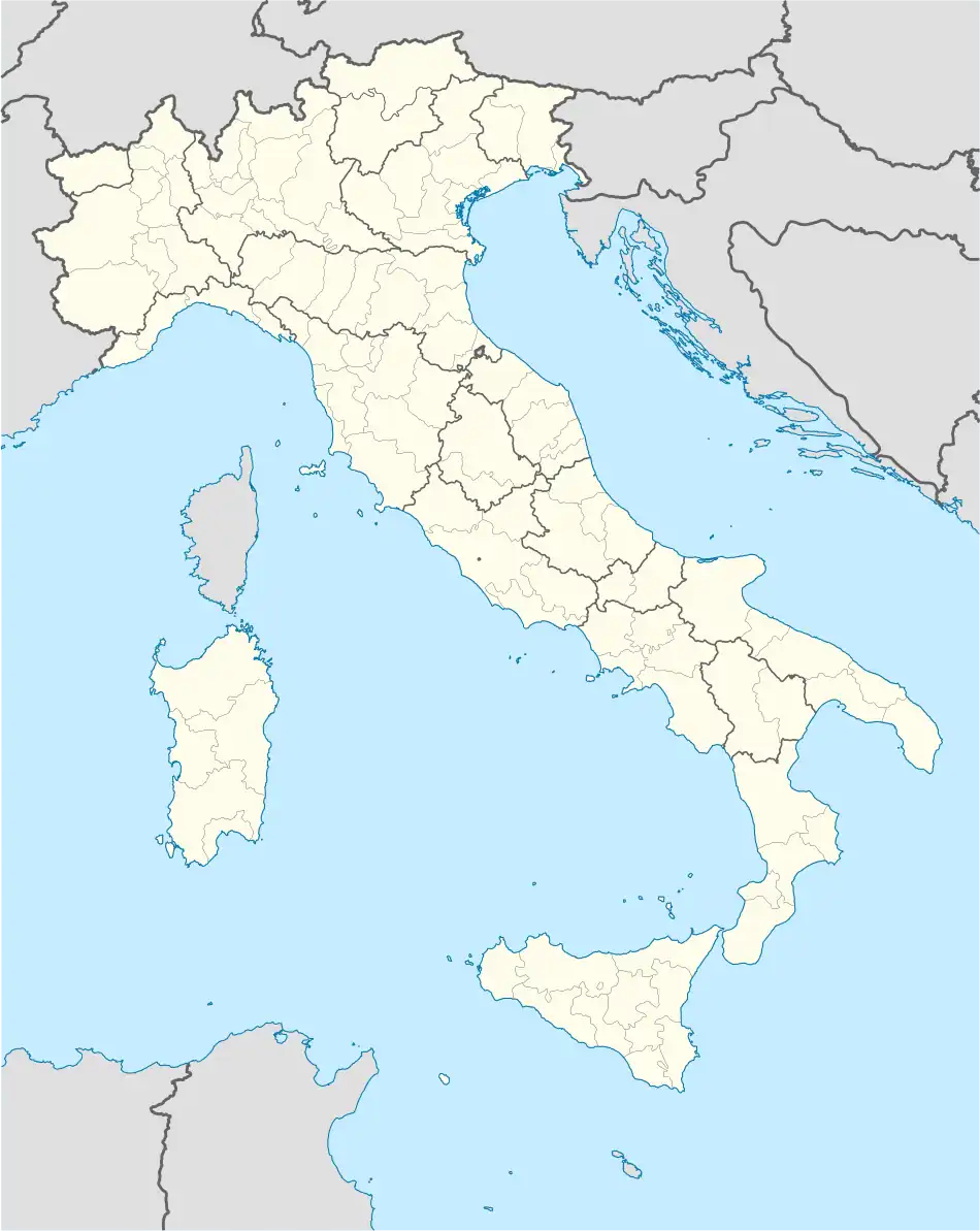 Tramonti di Sotto Location of Tramonti di Sotto in Italy 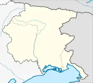 Tramonti di Sotto Tramonti di Sotto (Friuli-Venezia Giulia) | |
| Coordinates: 46°17′N 12°48′E / 46.283°N 12.800°E | |
| Country | Italy |
| Region | Friuli Venezia Giulia |
| Province | Pordenone (PN) |
| Area | |
| • Total | 84.6 km2 (32.7 sq mi) |
| Elevation | 366 m (1,201 ft) |
| Population (Dec. 2004)[2] | |
| • Total | 444 |
| • Density | 5.2/km2 (14/sq mi) |
| Time zone | UTC+1 (CET) |
| • Summer (DST) | UTC+2 (CEST) |
| Postal code | 33090 |
| Dialing code | 0427 |
Tramonti di Sotto (Friulian: Tramonç Disot, locally Vildisot) is a comune (municipality) in the Regional decentralization entity of Pordenone, in the Italian region of Friuli Venezia Giulia. It is located about 110 kilometres (68 mi) northwest of Trieste and about 35 kilometres (22 mi) northeast of Pordenone. As of 31 December 2004, it had a population of 444 and an area of 84.6 square kilometres (32.7 sq mi).[3]
Tramonti di Sotto borders the following municipalities: Castelnovo del Friuli, Clauzetto, Frisanco, Meduno, Preone, Socchieve, Tramonti di Sopra, Travesio, Verzegnis, Vito d'Asio.
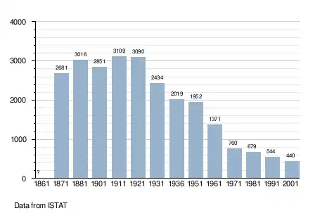
Demographic evolution
References
- ↑ "Superficie di Comuni Province e Regioni italiane al 9 ottobre 2011". Italian National Institute of Statistics. Retrieved 16 March 2019.
- ↑ "Popolazione Residente al 1° Gennaio 2018". Italian National Institute of Statistics. Retrieved 16 March 2019.
- ↑ All demographics and other statistics: Italian statistical institute Istat.
Wikimedia Commons has media related to Tramonti di Sotto.
This article is issued from Wikipedia. The text is licensed under Creative Commons - Attribution - Sharealike. Additional terms may apply for the media files.