Z12 S13 Sumiyoshi Station 住吉駅 | |||||||||||||||||||||
|---|---|---|---|---|---|---|---|---|---|---|---|---|---|---|---|---|---|---|---|---|---|
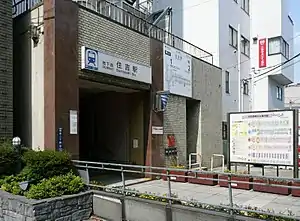 Entrance A2 in July 2008 | |||||||||||||||||||||
| General information | |||||||||||||||||||||
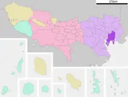
| Location | Kōtō, Tokyo Japan | ||||||||||||||||||||
| Coordinates | 35°41′21″N 139°48′58″E / 35.689091°N 139.816132°E | ||||||||||||||||||||
| Operated by | |||||||||||||||||||||
| Line(s) | |||||||||||||||||||||
| Platforms | 4 side platforms | ||||||||||||||||||||
| Tracks | 4 | ||||||||||||||||||||
| Construction | |||||||||||||||||||||
| Structure type | Underground | ||||||||||||||||||||
| Other information | |||||||||||||||||||||
| Station code | S-13, Z-12 | ||||||||||||||||||||
| History | |||||||||||||||||||||
| Opened | 21 December 1978 | ||||||||||||||||||||
| Services | |||||||||||||||||||||
| |||||||||||||||||||||
| Location | |||||||||||||||||||||
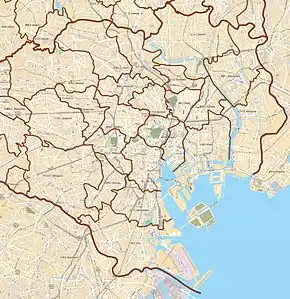 Sumiyoshi Station Location within Special wards of Tokyo 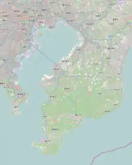 Sumiyoshi Station Sumiyoshi Station (Tokyo Bay and Bōsō Peninsula) 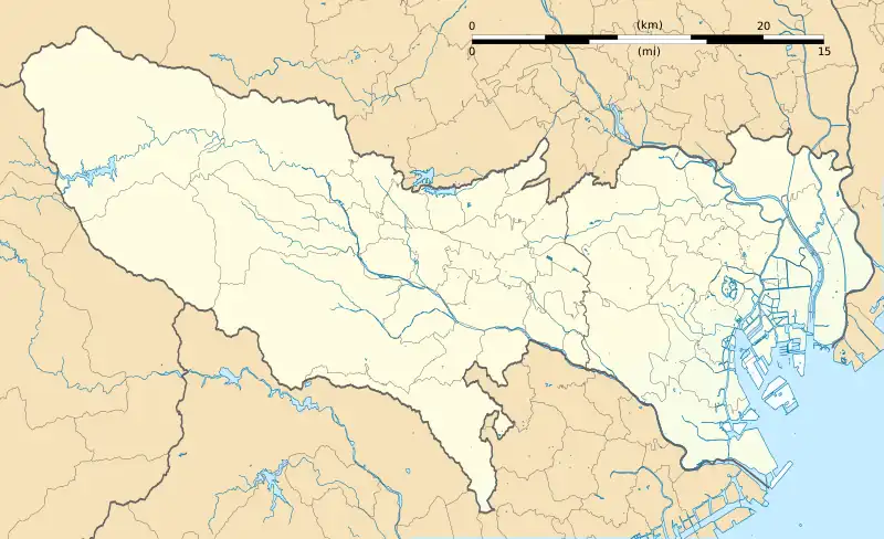 Sumiyoshi Station Sumiyoshi Station (Tokyo)  Sumiyoshi Station Sumiyoshi Station (Japan) | |||||||||||||||||||||
Sumiyoshi Station (住吉駅, Sumiyoshi-eki) is a subway station in Kōtō, Tokyo, Japan, jointly operated by Tokyo Metropolitan Bureau of Transportation (Toei) and Tokyo Metro. The station numbers are Z-12 for the Tokyo Metro Hanzomon Line and S-13 for the Toei Shinjuku Line.[1]
Lines
Sumiyoshi Station is served by the following two lines.
- Toei Shinjuku Line (S-13)
- Tokyo Metro Hanzomon Line (Z-12)
Station layout
- B1 level: Concourses
- B2 level: Ticket halls/gates; Toei Shinjuku Line platforms
- B3 level: Tokyo Metro Hanzomon Line platform 1 (for Shibuya)
- B4 level: Tokyo Metro Hanzomon Line platform 2 (for Oshiage)
 The Toei Shinjuku Line (platform 2) ticket barriers in March 2007
 The Tokyo Metro ticket barriers in March 2007
Toei platforms
Two side platforms serving two tracks. Here, passengers must choose their direction before passing through the ticket gates.
| 1 | S Shinjuku Line | for Jimbocho, Ichigaya, and Shinjuku KO Keiō Line for Hatsudai, Hatagaya, Meidaimae, Chōfu, and Hashimoto |
| 2 | S Shinjuku Line | for Ojima and Motoyawata |
 The Toei Shinjuku Line platforms in December 2018
Tokyo Metro platforms
Originally built as two island platforms, one above the other, but only one side is used, and the other side, originally reserved for future extension plan to Toyosu, are used as stabling tracks.[2]
| 1 | Z Hanzōmon Line | for Otemachi and Shibuya DT Den-en-toshi Line for Chūō-Rinkan |
| 2 | Z Hanzomon Line | for Kinshichō and Oshiage TS Tobu Skytree Line for Kita-Koshigaya and Tōbu-Dōbutsu-Kōen TI Tobu Isesaki Line for Kuki TN Tōbu Nikkō Line for Minami-Kurihashi |
 Tokyo Metro Hanzomon Line platform 1 in June 2016. The other side of the platform is covered up with fences and information board.
History
The station opened on 21 December 1978, initially served by the Toei Shinjuku Line only.[3] The Tokyo Metro platforms opened on 19 March 2003.[3]
The station facilities of the Hanzōmon Line were inherited by Tokyo Metro after the privatization of the Teito Rapid Transit Authority (TRTA) in 2004.[4]
Surrounding area
Sumiyoshi Station is located about 15 minutes' walk away from Kinshichō Station, one of Kōtō, Tokyo's largest shopping areas and also lies in close proximity to Sarueonshi Park.
Future developments
In 2021, plans were announced to branch the Yurakucho line at Toyosu Station, traveling north for 4.8 km (3.0 mi) connecting up to Sumiyoshi Station. This branch line, expected to be in service in the mid-2030s, will connect Sumiyoshi Station with the region south of it.
A branch line from Toyosu Station has been planned since the early 1980s, heading north via Kameari Station (on the Jōban Line) to Noda in northwest Chiba Prefecture.[5]
See also
References
- ↑ 東京メトロ|電車・駅のご利用案内|住吉駅
- ↑ "ホーム南側に立坑/8号線延伸で住吉駅 営業線と近接施工/東京都ら検討 | 建設通信新聞Digital". 10 July 2021. Archived from the original on 10 July 2021. Retrieved 6 August 2021.
- 1 2 Terada, Hirokazu (19 January 2013). データブック日本の私鉄 [Databook: Japan's Private Railways] (in Japanese). Japan: Neko Publishing. pp. 216–218. ISBN 978-4-7770-1336-4.
- ↑ "「営団地下鉄」から「東京メトロ」へ" [From "Teito Rapid Transit Authority" to "Tokyo Metro"]. Tokyo Metro Online. 8 July 2006. Archived from the original on 16 May 2012. Retrieved 29 May 2022.
- ↑ 新たなネットワークを担う地下鉄整備の実現に向けて [Toward the realization of subway development that will carry a new network] (PDF). City of Koto, Tokyo. 2010. Archived from the original (PDF) on 1 June 2010.
External links
- Toei station information (in Japanese)
- Tokyo Metro station information (in Japanese)
