Z10 Suitengumae Station 水天宮前駅 | |||||||||||
|---|---|---|---|---|---|---|---|---|---|---|---|
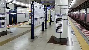 Station platform in March 2019 | |||||||||||
| General information | |||||||||||
| Location | 2-1-1 Nihonbashi Kakigaracho, Chūō, Tokyo Japan | ||||||||||
| Operated by | |||||||||||
| Line(s) | Z Hanzōmon Line | ||||||||||
| Platforms | 1 island platform | ||||||||||
| Tracks | 2 | ||||||||||
| Connections |
| ||||||||||
| Construction | |||||||||||
| Structure type | Underground | ||||||||||
| Other information | |||||||||||
| Station code | Z-10 | ||||||||||
| History | |||||||||||
| Opened | 28 November 1990 | ||||||||||
| Services | |||||||||||
| |||||||||||
| Location | |||||||||||
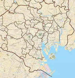 Suitengūmae Station Location within Special wards of Tokyo  Suitengūmae Station Suitengūmae Station (Tokyo Bay and Bōsō Peninsula) 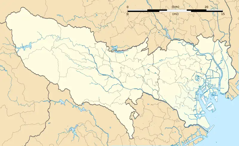 Suitengūmae Station Suitengūmae Station (Tokyo)  Suitengūmae Station Suitengūmae Station (Japan) | |||||||||||
Suitengūmae Station (水天宮前駅, Suitengūmae-eki) is a subway station on the Tokyo Metro Hanzomon Line in Chūō, Tokyo, operated by the Tokyo subway operator Tokyo Metro. It is connected by moving walkways to the Tokyo City Air Terminal, and Ningyocho Station is located 500 meters to the northwest (although there is no transfer corridor between the two stations).
Lines
Suitengūmae Station is served by the Tokyo Metro Hanzōmon Line, and is numbered Z-10.
Station layout
| 1 | Z Hanzōmon Line | for Otemachi and Shibuya DT Den-en-toshi Line for Chūō-Rinkan |
| 2 | Z Hanzomon Line | for Kinshicho and Oshiage TS Tobu Skytree Line for Tōbu-Dōbutsu-Kōen TI Tobu Isesaki Line for Kuki TN Tōbu Nikkō Line for Minami-Kurihashi |
History
Suitengūmae Station opened on 28 November 1990.[1] It was the eastern terminus of the Hanzomon Line until 2003, when the line was extended to Oshiage Station.
The station facilities were inherited by Tokyo Metro after the privatization of the Teito Rapid Transit Authority (TRTA) in 2004.[2]
Surrounding area
- Kayabachō Station (H Hibiya Line and T Tozai Line (approximately 12 minutes' walk)
- Ningyōchō Station (H Hibiya Line and A Asakusa Line) (approximately 6 minutes' walk)[3]
References
- ↑ Terada, Hirokazu (19 January 2013). データブック日本の私鉄 [Databook: Japan's Private Railways]. Japan: Neko Publishing. p. 216. ISBN 978-4-7770-1336-4.
- ↑ "「営団地下鉄」から「東京メトロ」へ" [From "Teito Rapid Transit Authority" to "Tokyo Metro"]. Tokyo Metro Online. 8 July 2006. Archived from the original on 16 May 2012. Retrieved 29 May 2022.
- ↑ https://www.tokyometro.jp/station/yardmap_img/_station_%E4%BA%BA%E5%BD%A2%E7%94%BA_%E6%B0%B4%E5%A4%A9%E5%AE%AE%E5%89%8D_yardmap_images_yardmap.jpg
35°40′57″N 139°47′07″E / 35.6826°N 139.7852°E
