Pantepec | |
|---|---|
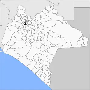 Municipality of Pantepec in Chiapas | |
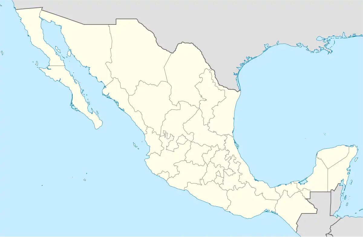 Pantepec Location in Mexico | |
| Coordinates: 17°11′N 93°03′W / 17.183°N 93.050°W | |
| Country | |
| State | Chiapas |
| Founded | 1915 |
| Area | |
| • Total | 47.2 km2 (18.2 sq mi) |
| Elevation | 1,470 m (4,820 ft) |
| Population (2010) | |
| • Total | 10,870 |
| • Density | 230/km2 (600/sq mi) |
| Postal code | 29660, 29661 |
| Area code | (+52) 200 |
Pantepec is a town and municipality in the Mexican state of Chiapas in southern Mexico. The Chiapas Zoque language is spoken in this municipality.
As of 2010, the municipality had a total population of 10,870,[1] up from 8,566 as of 2005.[2] It covers an area of 47.2 km².
As of 2010, the town of Pantepec had a population of 1,820.[1] Other than the town of Pantepec, the municipality had 54 localities, the largest of which (with 2010 populations in parentheses) was: San Isidro las Banderas (1,309), classified as rural.[1]
References
- 1 2 3 "Pantepec". Catálogo de Localidades. Secretaría de Desarrollo Social (SEDESOL). Retrieved 23 April 2014.
- ↑ "Pantepec". Enciclopedia de los Municipios de México. Instituto Nacional para el Federalismo y el Desarrollo Municipal Gobierno del Estado de Chiapas. Archived from the original on September 27, 2007. Retrieved August 2, 2008.

This article is issued from Wikipedia. The text is licensed under Creative Commons - Attribution - Sharealike. Additional terms may apply for the media files.