| Mount Trutch | |
|---|---|
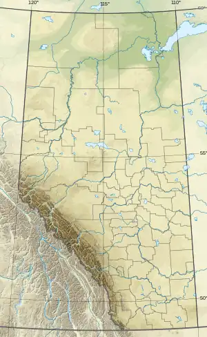
 Mount Trutch Location in Alberta and British Columbia  Mount Trutch Mount Trutch (British Columbia) | |
| Highest point | |
| Elevation | 3,258 m (10,689 ft)[1][2] |
| Prominence | 206 m (676 ft)[3] |
| Parent peak | Mount Barnard (3339 m)[1] |
| Listing | |
| Coordinates | 51°42′16″N 116°52′55″W / 51.70444°N 116.88194°W[4] |
| Geography | |
| Country | Canada |
| Provinces | Alberta and British Columbia |
| Parent range | Park Ranges |
| Topo map | NTS 82N10 Blaeberry River[4] |
| Climbing | |
| First ascent | July 14, 1922 by Howard Palmer, J. Monroe Thorington, Edward Feuz Jr.[5] |
Mount Trutch is a mountain located on the border of Alberta and British Columbia, Canada. It was named in 1920 after Sir Joseph Trutch, a Canadian politician who was the first Lieutenant Governor of British Columbia.[4][2]
See also
References
- 1 2 "Topographic map of Mount Trutch". opentopomap.org. Retrieved 2022-02-08.
- 1 2 "Mount Trutch". cdnrockiesdatabases.ca. Retrieved 2022-02-08.
- ↑ "Mount Trutch". Bivouac.com. Retrieved 2022-02-08.
- 1 2 3 "Mount Trutch". BC Geographical Names. Retrieved 2022-02-08.
- ↑ Thorington, J. Monroe; Sandford, Robert William (2012) [1925]. "Chapter 3: The Freshfield Group". The Glittering Mountains of Canada: A Record of Exploration and Pioneer Ascents in the Canadian Rockies, 1914-1924 (Kindle ed.). Calgary: Rocky Mountain Books. ISBN 9781927330067.
This article is issued from Wikipedia. The text is licensed under Creative Commons - Attribution - Sharealike. Additional terms may apply for the media files.