| Maligne Range | |
|---|---|
 Maligne Range seen from the Bald Hills | |
| Highest point | |
| Peak | Mount Kerkeslin |
| Elevation | 2,984 m (9,790 ft)[1] |
| Listing | Mountains of Alberta |
| Coordinates | 52°38′56″N 117°49′36″W / 52.64889°N 117.82665°W[2] |
| Geography | |
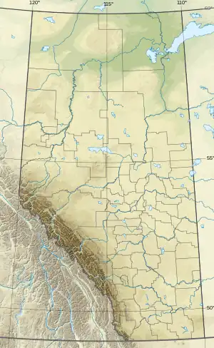 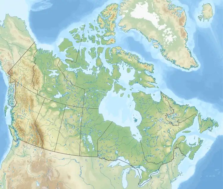 | |
| Country | Canada |
| Province | Alberta |
| Protected area | Jasper National Park |
| Range coordinates | 52°46′59″N 117°47′44″W / 52.78306°N 117.79556°W[3] |
| Parent range | Canadian Rockies |
| Topo map | NTS 83C13 Medicine Lake[3] |
The Maligne Range is a mountain range of the Canadian Rockies located directly southeast of Jasper townsite in Jasper National Park, Canada. The southern tail-end of the range finishes at Endless Chain Ridge.[4]
Mountains
This range includes the following mountains and peaks:
| Mountain/Peak | Elevation | Coordinates | |
|---|---|---|---|
| m | ft | ||
| Mount Kerkeslin | 2,984 | 9,790 | 52°38'55"N, 117°49'36"W |
| Evelyn Peak | 2,855 | 9,367 | 52°40'18"N, 117°45'43"W |
| The Watchtower | 2,791 | 9,157 | 52°49'24.2"N, 117°50'23.3"W |
| Excelsior Mountain | 2,744 | 9,003 | |
| Mount Hardisty | 2,716 | 8,911 | 52°42'17"N, 117°49'28"W |
| Centre Mountain | 2,700 | 8,900 | 52°49'44"N, 117°53'37"W |
| Mount Tekarra | 2,694 | 8,839 | 52°49'59.95"N, 117°57'8.46"W |
| Trowel Peak | 2,640 | 8,660 | |
| Curator Mountain | 2,622 | 8,602 | 52°47'17.88"N, 117°50'5.28"W |
| Amber Mountain | 2,565 | 8,415 | 52°49'30.360"N, 117°55'41.520"W |
| Antler Mountain | 2,557 | 8,389 | |
| Aberhart Mountain | 2,555 | 8,383 | |
| Sunset Peak | 2,464 | 8,084 | |
| Signal Mountain | 2,312 | 7,585 | 52°51'36"N, 117°58'12"W |
See also
References
- ↑ "Topographic map of Mount Kerkeslin". opentopomap.org. Retrieved 2023-08-04.
- ↑ "Mount Kerkeslin". Bivouac.com. Retrieved 2021-01-03.
- 1 2 "Maligne Range". Geographical Names Data Base. Natural Resources Canada. Retrieved 2021-01-03.
- ↑ "Endless Chain Ridge". Bivouac.com. Retrieved 2021-01-03.
This article is issued from Wikipedia. The text is licensed under Creative Commons - Attribution - Sharealike. Additional terms may apply for the media files.