| Mount Ballard | |
|---|---|
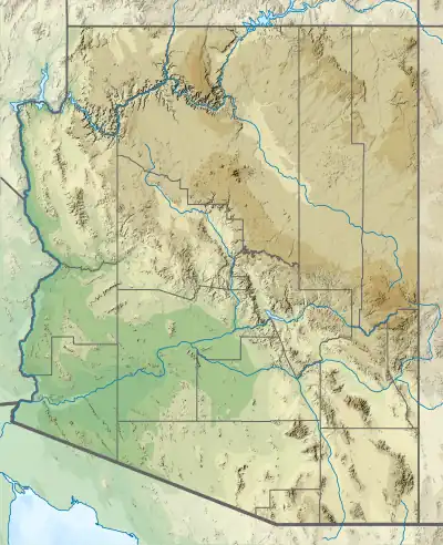 Mount Ballard Location in Arizona  Mount Ballard Mount Ballard (the United States) | |
| Highest point | |
| Elevation | 7,374 ft (2,248 m) NAVD 88[1] |
| Prominence | 210 ft (64 m)[2] |
| Coordinates | 31°26′37″N 109°57′33″W / 31.443702464°N 109.959246958°W[1] |
| Geography | |
| Location | Cochise County, Arizona, U.S. |
| Parent range | Mule Mountains |
| Topo map | USGS Bisbee |
| Climbing | |
| Easiest route | Hike[3] |
Mount Ballard, with an elevation of 7,374 feet (2,248 m) is located in Cochise County, Arizona, about 1.8 miles (3 km) west of Bisbee.
See also
References
- 1 2 "Mule". NGS Data Sheet. National Geodetic Survey, National Oceanic and Atmospheric Administration, United States Department of Commerce. Retrieved 2014-02-06.
- ↑ "Mount Ballard, Arizona". Peakbagger.com. Retrieved 2014-02-06.
- ↑ "Ballard & Fissure Peaks (Mule Mountains)". SummitPost.org. Retrieved 2016-08-20.
This article is issued from Wikipedia. The text is licensed under Creative Commons - Attribution - Sharealike. Additional terms may apply for the media files.