| Aubrey Peak | |
|---|---|
| Grooms Peak | |
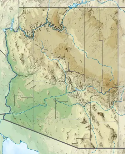
 Aubrey Peak Location in Arizona | |
| Highest point | |
| Elevation | 5,080 ft (1,548 m) NAVD 88[1] |
| Prominence | 858 ft (262 m)[2] |
| Coordinates | 34°39′47″N 113°43′45″W / 34.663193347°N 113.7292486°W[1] |
| Geography | |
| Location | Mohave County, Arizona, U.S. |
| Parent range | Hualapai Mountains |
| Topo map | USGS Aubrey Peak |
| Geology | |
| Age of rock | 1.7–1.4 mya |
| Mountain type | Granite, with feldspar |
| Climbing | |
| Easiest route | Hike (1 mile) |
Aubrey Peak, also known as Grooms Peak,[3] is a summit located 35 miles east-northeast of Lake Havasu City in Mohave County, Arizona and is in the Hualapai Mountains.
The peak can approached from the town of Wikieup on U.S. Route 93 by way of Chicken Springs Road which ascends to a saddle on the mountains southeast flank.
The Aubrey Peak is profiled in Hiking Arizona's Geology, as Hike 29, Aubrey Peak Road.[4]
References
- 1 2 "Grooms Peak". NGS Data Sheet. National Geodetic Survey, National Oceanic and Atmospheric Administration, United States Department of Commerce.
- ↑ "Aubrey Peak, Arizona". Peakbagger.com.
- ↑ "Aubrey Peak". Geographic Names Information System. United States Geological Survey, United States Department of the Interior.
- ↑ Lucchitta, Ivo (2001). Hiking Arizona's Geology. Seattle, WA: Mountaineers Books. pp. 192–196. ISBN 0898867304.
This article is issued from Wikipedia. The text is licensed under Creative Commons - Attribution - Sharealike. Additional terms may apply for the media files.