.png.webp) USGS aerial imagery of the island. | |
 Mandeville Island 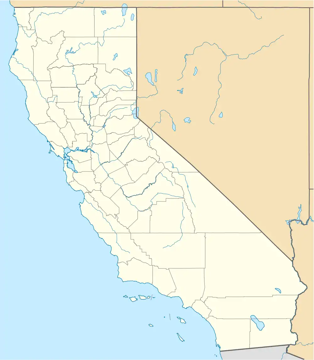 Mandeville Island  Mandeville Island | |
| Geography | |
|---|---|
| Location | Northern California |
| Coordinates | 38°02′05″N 121°32′56″W / 38.03472°N 121.54889°W |
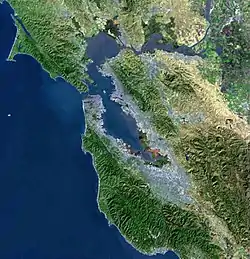
| Adjacent to | Sacramento-San Joaquin River Delta |
| Area | 5,500 acres (2,200 ha) |
| Administration | |
United States | |
| State | California |
| County | San Joaquin |
_Mandeville_and_Quimby.jpg.webp)
Mandeville Island and Quimby Island in an aerial photo taken looking toward the east in 2018.
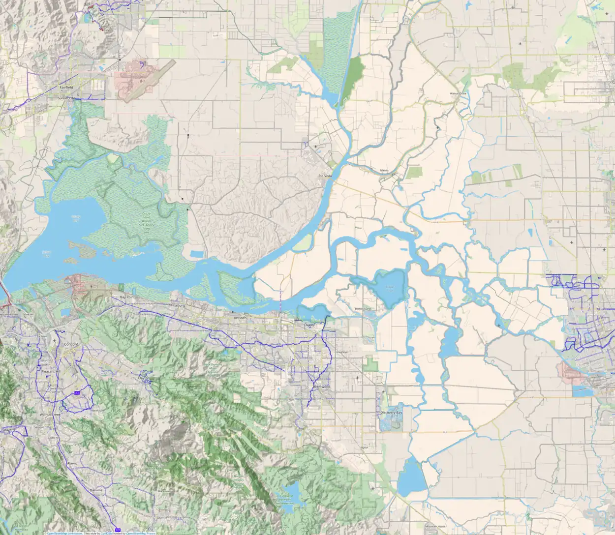
Mandeville Island is an island in the Sacramento–San Joaquin Delta located about 15 miles (24 km) northwest of Stockton, in central California in the United States.[1] The island covers about 5,500 acres (2,200 ha), and lies between the Old River to the west and Middle River to the east, both distributaries of the San Joaquin River-Stockton Deepwater Shipping Channel. The Connection Slough forms the island's southern end, and Sand Mound Slough borders the island to the north. The island lies directly to the east of Franks Tract State Recreation Area. It is in San Joaquin County, and managed by Reclamation District 2027.[2]
See also
External links
- ↑ "Milder Storm Due For North State; Beleaguered Delta Area Eyes Relief". The Sacramento Bee. Sacramento, California. 1980-02-23. p. 3.
- ↑ "Municipal Service Review: Selected San Joaquin County Reclamation Districts" (PDF). San Joaquin Local Agency Formation Commission. E Mulberg & Associates. 18 March 2018. Retrieved 24 February 2021.
Map: Islands of Suisun Bay and the Sacramento–San Joaquin River Delta | |
|---|---|
(islands of the San Francisco Bay Area) |
This article is issued from Wikipedia. The text is licensed under Creative Commons - Attribution - Sharealike. Additional terms may apply for the media files.