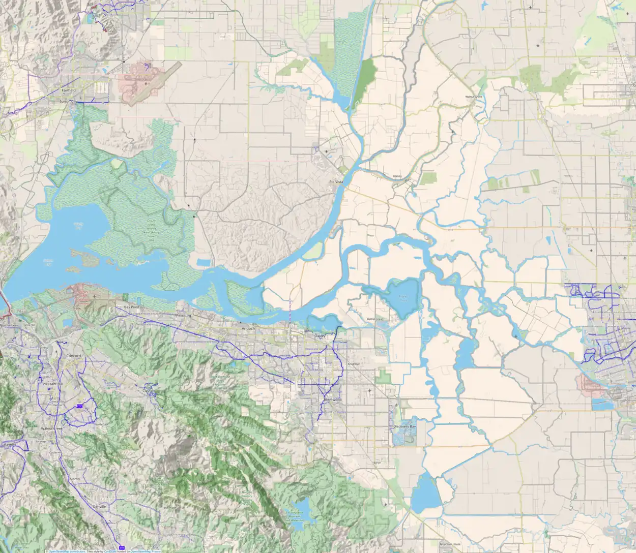
 USGS aerial imagery of Acker Island, with McDonald Island to the west, Spud Island to the northwest, Hog Island to the northeast, Rindge Tract to the east, and Roberts Island to the south. | |
 Acker Island 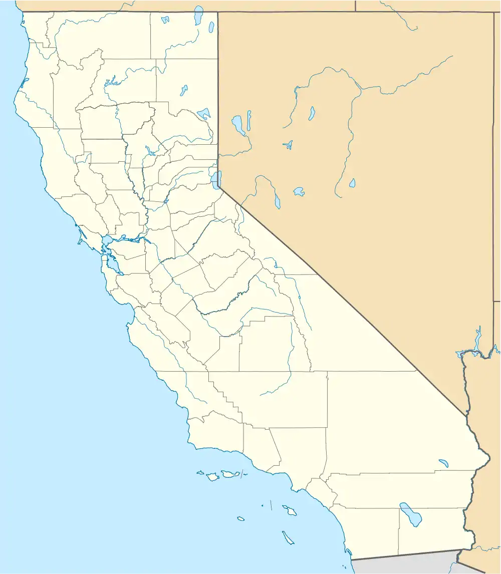 Acker Island  Acker Island | |
| Geography | |
|---|---|
| Location | Northern California |
| Coordinates | 37°59′51″N 121°26′56″W / 37.99750°N 121.44889°W[1] |
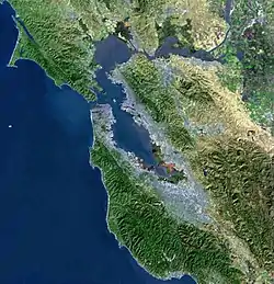
| Adjacent to | Sacramento–San Joaquin River Delta |
| Highest elevation | 3 ft (0.9 m)[1] |
| Administration | |
United States | |
| State | |
| County | San Joaquin |
Acker Island (also known as Lost Isle)[1] is a small island in the Sacramento–San Joaquin River Delta.[2][3][4] It is part of San Joaquin County, California.[5][6][7][8] Its coordinates are 37°59′51″N 121°26′56″W / 37.99750°N 121.44889°W[1], and the United States Geological Survey measured its elevation as 3 ft (0.91 m) in 1981. It appears on a 1952 USGS map of the area.[9]
References
- 1 2 3 4 U.S. Geological Survey Geographic Names Information System: Acker Island
- ↑ "A launch ride". Stockton Daily Evening Record. Stockton, California. 1910-03-19. p. 5.
- ↑ "An Enjoyable Launch Party". Stockton Daily Evening Record. Stockton, California. 1911-08-25. p. 4.
- ↑ "Anteros River Picnic". The Evening Mail. Stockton, California. 1912-05-29. p. 10.
- ↑ "Moose Enjoy Picnic". Stockton Daily Evening Record. Stockton, California. 1919-07-07. p. 8.
- ↑ "Turn Basin Blasts Are Fired Here". Stockton Daily Independent. Stockton, California. 1929-03-16. p. 3.
- ↑ "Cruising California's bayous". The Argus. Fremont, California. 1973-08-05. p. 66.
- ↑ "Resort growth faces challenges". The Sacramento Bee. Sacramento, California. 1999-11-16. p. 18.
- ↑ United States Geological Survey (1952). "Holt Quadrangle, California" (Map). United States Department of the Interior Geological Survey. 1:24000.
Map: Islands of Suisun Bay and the Sacramento–San Joaquin River Delta | |
|---|---|
(islands of the San Francisco Bay Area) |
This article is issued from Wikipedia. The text is licensed under Creative Commons - Attribution - Sharealike. Additional terms may apply for the media files.