Gunnedah Airport | |||||||||||||||
|---|---|---|---|---|---|---|---|---|---|---|---|---|---|---|---|
| Summary | |||||||||||||||
| Airport type | Public | ||||||||||||||
| Operator | Gunnedah Shire Council | ||||||||||||||
| Location | Gunnedah, New South Wales, Australia | ||||||||||||||
| Elevation AMSL | 863 ft / 263 m | ||||||||||||||
| Coordinates | 30°57′42″S 150°15′00″E / 30.96167°S 150.25000°E | ||||||||||||||
| Map | |||||||||||||||
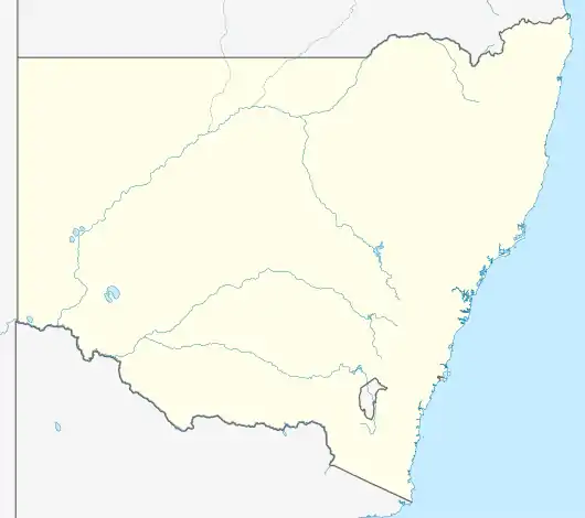 YGDH Location in New South Wales | |||||||||||||||
| Runways | |||||||||||||||
| |||||||||||||||
Gunnedah Airport (IATA: GUH, ICAO: YGDH) is a small airport located 1 nautical mile (1.9 km; 1.2 mi) north of Gunnedah, New South Wales, Australia.[1]
History
An aerodrome was first proposed in 1946 and Liverpool Plains Shire Council agreed to construction by public subscription in 1949.[2][3] It was officially opened on 12 May 1951.[4]
See also
References
- 1 2 YGDH – GUNNEDAH (PDF). AIP En Route Supplement from Airservices Australia, effective 2023-11-30
- ↑ "Aerodrome For Gunnedah Urged". The Land. 15 November 1946. p. 13.
- ↑ "Gunnedah Aerodrome Proposal". Goulburn Evening Post. 10 February 1949. p. 2.
- ↑ "Opening of Gunnedah Aerodrome". The Land. 18 May 1951. p. 1.
This article is issued from Wikipedia. The text is licensed under Creative Commons - Attribution - Sharealike. Additional terms may apply for the media files.