Corowa Airport | |||||||||||||||
|---|---|---|---|---|---|---|---|---|---|---|---|---|---|---|---|
| Summary | |||||||||||||||
| Airport type | Public | ||||||||||||||
| Operator | Federation Council | ||||||||||||||
| Location | Corowa, New South Wales | ||||||||||||||
| Elevation AMSL | 469 ft / 143 m | ||||||||||||||
| Coordinates | 35°59′24″S 146°21′06″E / 35.99000°S 146.35167°E | ||||||||||||||
| Map | |||||||||||||||
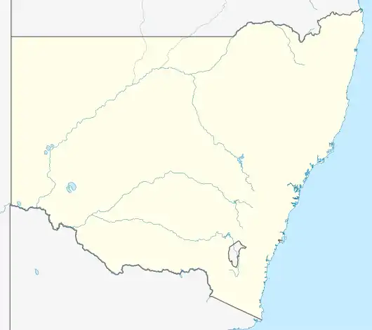 YCOR Location in New South Wales | |||||||||||||||
| Runways | |||||||||||||||
| |||||||||||||||
Corowa Airport (IATA: CWW, ICAO: YCOR) is a small airport located 2 nautical miles (3.7 km; 2.3 mi) west[1] of Corowa, New South Wales, Australia.
See also
References
- 1 2 YCOR – Corowa (PDF). AIP En Route Supplement from Airservices Australia, effective 2023-11-30
This article is issued from Wikipedia. The text is licensed under Creative Commons - Attribution - Sharealike. Additional terms may apply for the media files.