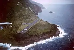
 Green Island is the dot in the distance | |
 Green Island  Green Island | |
| Geography | |
|---|---|
| Location | Caribbean |
| Coordinates | 17°38′56″N 63°13′47″W / 17.64900°N 63.22985°W |
| Archipelago | Leeward Islands, Lesser Antilles |
| Area | 0.24 ha (0.59 acres)[1] |
| Administration | |
| Public body | |
| Demographics | |
| Population | 0 |
Green Island is a little uninhabited islet about 250 metres north of the Caribbean island of Saba, and is part of the Dutch special municipality of Saba. It measures about 40 by 60 metres.[1]
The island is being used by bridled terns, sooty terns, and brown noddies for breeding.[2] There was a sulphur mine on the main island across from Green Island. In the 1870s, the two islands were connected by a cable in order to provide access to the mines.[3] The island is being used as a diving site.[4]
References
- 1 2 "Saba". Tripwise (in Dutch). Retrieved 5 May 2021.
- ↑ "Flora and Fauna". Sabapark. Retrieved 5 May 2021.
- ↑ "THE SULPHUR MINE". The Saba Islander. Retrieved 5 May 2021.
- ↑ "Saba #31 - Green Island". Sea Saba. Retrieved 5 May 2021.
| Populated places | |||
|---|---|---|---|
| Other locations | |||
| Transport | |||
| Education | |||
| Heraldry | |||
| Culture | |||
This article is issued from Wikipedia. The text is licensed under Creative Commons - Attribution - Sharealike. Additional terms may apply for the media files.