El Brazil, Texas | |
|---|---|
 El Brazil  El Brazil | |
| Coordinates: 26°28′7″N 98°43′37″W / 26.46861°N 98.72694°W | |
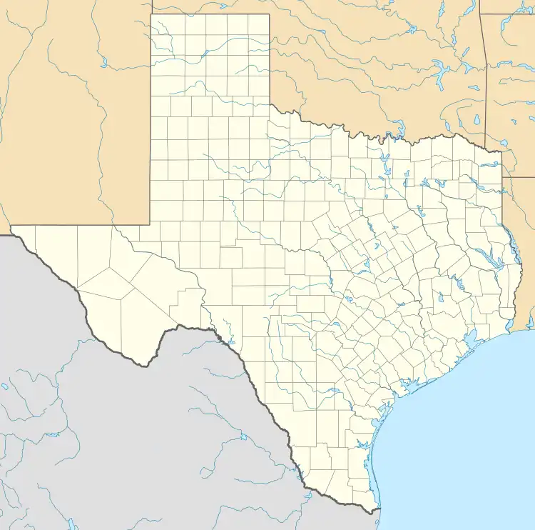
| Country | United States |
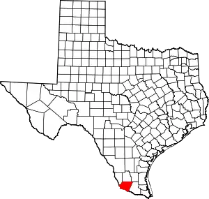
| State | Texas |
| County | Starr |
| Area | |
| • Total | 0.2 sq mi (0.5 km2) |
| • Land | 0.2 sq mi (0.5 km2) |
| • Water | 0.0 sq mi (0 km2) |
| Population (2010) | |
| • Total | 47 |
| • Density | 240/sq mi (91/km2) |
| Time zone | UTC-6 (Central (CST)) |
| • Summer (DST) | UTC-5 (CDT) |
| Zip Code | 78582 |
El Brazil is a census-designated place (CDP) in Starr County, Texas, United States. This was a new CDP for the 2010 census with a population of 47.[1]
Geography
El Brazil is located at 26°28′7″N 98°43′37″W / 26.46861°N 98.72694°W (26.468651, -98.726828).[2]
Education
It is in the Rio Grande City Grulla Independent School District (formerly Rio Grande City Consolidated Independent School District)[3]
References
- ↑ "Population and Housing Unit Counts, 2010 Census of Population and Housing" (PDF). Texas: 2010.
- ↑ "El Brazil, Texas :: Boundary Map of El Brazil, Texas". Archived from the original on December 28, 2016. Retrieved December 28, 2016.
- ↑ "2020 CENSUS - SCHOOL DISTRICT REFERENCE MAP: Starr County, TX" (PDF). U.S. Census Bureau. Retrieved August 28, 2022. - 2010 map
This article is issued from Wikipedia. The text is licensed under Creative Commons - Attribution - Sharealike. Additional terms may apply for the media files.