Datauli | |
|---|---|
Village | |
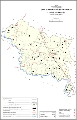 Map showing Datauli (#202) in Harchandpur CD block | |
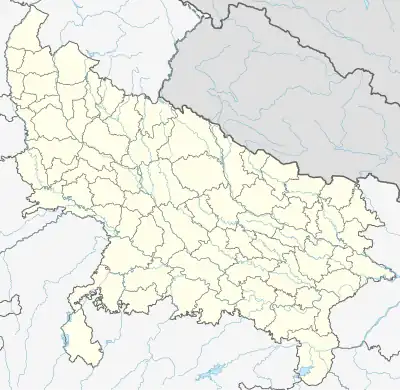 Datauli Location in Uttar Pradesh, India | |
| Coordinates: 26°22′41″N 81°08′21″E / 26.378063°N 81.139156°E[1] | |
| Country India | |
| State | Uttar Pradesh |
| District | Raebareli |
| Area | |
| • Total | 4.238 km2 (1.636 sq mi) |
| Population (2011)[2] | |
| • Total | 1,980 |
| • Density | 470/km2 (1,200/sq mi) |
| Languages | |
| • Official | Hindi |
| Time zone | UTC+5:30 (IST) |
| Vehicle registration | UP-35 |
Datauli is a village in Harchandpur block of Rae Bareli district, Uttar Pradesh, India.[2] As of 2011, its population is 1,980, in 357 households.[2] It has one primary school and no healthcare facilities.[2]
The 1961 census recorded Datauli as comprising 4 hamlets, with a total population of 822 people (442 male and 380 female), in 157 households and 140 physical houses.[3] The area of the village was given as 1,049 acres.[3]
The 1981 census recorded Datauli as having a population of 1,167 people, in 200 households, and having an area of 425.74 hectares.[4] The main staple foods were given as wheat and rice.[4]
References
- ↑ "Geographic Names Search WebApp". Search for "Datauli" here.
- 1 2 3 4 5 "Census of India 2011: Uttar Pradesh District Census Handbook - Rae Bareli, Part A (Village and Town Directory)" (PDF). Census 2011 India. pp. 168–84. Retrieved 2 August 2021.
- 1 2 Census 1961: District Census Handbook, Uttar Pradesh (39 - Raebareli District) (PDF). Lucknow. 1965. pp. xxxiv-xxxv of section "Rae Bareli Tahsil". Retrieved 2 August 2021.
{{cite book}}: CS1 maint: location missing publisher (link) - 1 2 Census 1981 Uttar Pradesh: District Census Handbook Part XIII-A: Village & Town Directory, District Rae Bareli (PDF). 1982. pp. 74–5. Retrieved 2 August 2021.
This article is issued from Wikipedia. The text is licensed under Creative Commons - Attribution - Sharealike. Additional terms may apply for the media files.