Dangau | |
|---|---|
Village | |
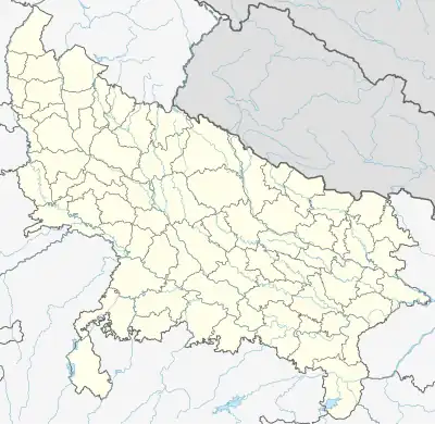 Dangau Location in Uttar Pradesh, India | |
| Coordinates: 27°22′03″N 78°57′11″E / 27.36747°N 78.95306°E | |
| Country | India |
| State | Uttar Pradesh |
| District | Mainpuri |
| Tehsil | Mainpuri |
| Area | |
| • Total | 2.445 km2 (0.944 sq mi) |
| Population (2011)[1] | |
| • Total | 979 |
| • Density | 400/km2 (1,000/sq mi) |
| Time zone | UTC+5:30 (IST) |
Dangau (Ḍaṅgaū) is a village in Kuraoli block of Mainpuri district, Uttar Pradesh, India. As of 2011, it had a population of 979, in 170 households.
Demographics
As of 2011, Dangau had a population of 979, in 170 households.[1]: 98 This population was 53.9% male (528) and 46.1% female (451). The 0-6 age group numbered 179 (86 male and 93 female), or 18.2% of the total population. 701 residents were members of Scheduled Castes, or 71.6% of the total.[2]: 82–3
The 1981 census recorded Dangau as having a population of 564 people, in 98 households.[3]: 140–1
The 1961 census recorded Dangau as comprising 2 hamlets, with a total population of 417 people (223 male and 194 female), in 91 households and 73 physical houses. The area of the village was given as 586 acres.[4]: lxxvi
Infrastructure
As of 2011, Dangau had 1 primary school; it did not have any healthcare facilities. Drinking water was provided by tap and hand pump; there were no public toilets. The village had a post office but no public library; there was at least some access to electricity for residential and agricultural purposes. Streets were made of both kachcha and pakka materials.[1]: 98–103
References
- 1 2 3 4 "Census of India 2011: Uttar Pradesh District Census Handbook - Mainpuri, Part A (Village and Town Directory)" (PDF). Census of India. Retrieved 19 June 2023.
- ↑ "Census of India 2011: Uttar Pradesh District Census Handbook - Mainpuri, Part B (Village and Town Wise Primary Census Abstract)" (PDF). Census of India. Retrieved 19 June 2023.
- ↑ Census 1981 Uttar Pradesh: District Census Handbook Part XIII-A: Village & Town Directory, District Mainpuri (PDF). 1982. Retrieved 25 July 2023.
- ↑ Census 1961: District Census Handbook, Uttar Pradesh (24 - Mainpuri District) (PDF). Lucknow. 1965. Retrieved 25 December 2021.
{{cite book}}: CS1 maint: location missing publisher (link)