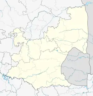
Casteel | |
|---|---|
| Maboke | |
 Casteel  Casteel | |
| Coordinates: 24°43′29″S 31°01′12″E / 24.7247°S 31.0201°E | |
| Country | South Africa |
| Province | Mpumalanga |
| District | Ehlanzeni |
| Municipality | Bushbuckridge |
| • Ward 14 Councillor | (ANC) |
| Area | |
| • Total | 13.58 km2 (5.24 sq mi) |
| Population (2011)[1] | |
| • Total | 12,752 |
| • Density | 940/km2 (2,400/sq mi) |
| Racial makeup (2011) | |
| • Black African | 99.8% |
| • Indian/Asian | 0.1% |
| First languages (2011) | |
| • Northern Sotho | 68.8% |
| • Tsonga | 24.8% |
| • Swazi | 1.8% |
| • Sotho | 1.4% |
| • Other | 3.2% |
| Time zone | UTC+2 (SAST) |
| Postal code (street) | 1370 |
| PO box | 1370 |
Casteel is a town in Ehlanzeni District Municipality in the Mpumalanga province of South Africa. The legal name was changed to Maboke in 2008. Maboke is place consisting of Mapulana (Sepulana is the language spoken) and Tsonga people. There is proud culture of Dikoma (initiation school) which takes place during the winter times, from the month of June to August annually, and is a place where young boys are taught the cultural and roots of the "Mapulana people".[2]
References
- 1 2 3 4 "Main Place Casteel". Census 2011.
- ↑ "Approved names, September 2000 – January 2010". Department of Arts and Culture, Government of South Africa. October 2010. Archived from the original (.xls) on 22 September 2011.
This article is issued from Wikipedia. The text is licensed under Creative Commons - Attribution - Sharealike. Additional terms may apply for the media files.
.svg.png.webp)