Worcester County, Maryland
Worcester County /ˈwʊərstər/ is the easternmost county of the U.S. state of Maryland. As of the 2020 census, the population was 52,460.[1] Its county seat is Snow Hill.[2]
Worcester County | |
|---|---|
 George Washington Purnell House | |
 Flag  Seal | |
 Location within the U.S. state of Maryland | |
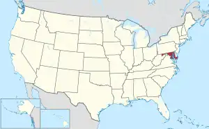 Maryland's location within the U.S. | |
| Coordinates: 38°14′N 75°17′W | |
| Country | |
| State | |
| Founded | 1742 |
| Named for | Family of Marquess of Worcester |
| Seat | Snow Hill |
| Largest community | Ocean Pines |
| Area | |
| • Total | 695 sq mi (1,800 km2) |
| • Land | 468 sq mi (1,210 km2) |
| • Water | 227 sq mi (590 km2) 33% |
| Population | |
| • Total | 52,460 |
| • Density | 75/sq mi (29/km2) |
| Time zone | UTC−5 (Eastern) |
| • Summer (DST) | UTC−4 (EDT) |
| Congressional district | 1st |
| Website | www |
References
- "QuickFacts: Worcester County, Maryland". United States Census Bureau. Retrieved January 3, 2024.
- "Find a County". National Association of Counties. Archived from the original on May 31, 2011. Retrieved June 7, 2011.
Municipalities and communities of Worcester County, Maryland, United States | ||
|---|---|---|
| City |
| |
| Towns | ||
| CDPs |
| |
| Other communities |
| |
| Footnotes | ‡This populated place also has portions in an adjacent county or counties | |
This article is issued from Wikipedia. The text is licensed under Creative Commons - Attribution - Sharealike. Additional terms may apply for the media files.