West Flanders
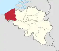
West Flanders [4] (Dutch: West-Vlaanderen; French: Flandre-Occidentale; German: Westflandern, West Flemish: West-Vloandern) is one of the five provinces of the Flemish Region, also named Flanders, and also is one of the ten provinces of Belgium. It is the westernmost province in Flanders.
West Flanders
| |
|---|---|
 Flag  Coat of arms | |
 | |
| Coordinates: 51°00′N 03°00′E | |
| Country | |
| Region | |
| Capital (and largest city) | Bruges |
| Government | |
| • Governor | Carl Decaluwé (CD&V) |
| Area | |
| • Total | 3,197 km2 (1,234 sq mi) |
| Population (1 January 2022)[2] | |
| • Total | 1,209,011 |
| • Density | 378/km2 (980/sq mi) |
| HDI (2019) | 0.935[3] very high · 5th of 11 |
| Website | www |
Its capital is Bruges (Dutch: Brugge, French: Bruges, German: Brügge).
The whole Belgian North Sea coast, an important tourism destination, lies in West Flanders. A tram line runs the length of the coast, from De Panne on the French border, via the port of Ostend (Dutch: Oostende), to Knokke-Heist on the Dutch frontier.
Geography
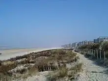
The province of West Flanders lies in the most densely populated area of Western Europe. It has a population of about 1,209,000 in 2022
It borders the North Sea, northern France, Zeeland in the Netherlands, the Flemish province of East Flanders (Dutch: Oost-Vlaanderen) and the Walloon province of Hainaut (Dutch: Henegouwen) in Belgium.[5] West Flanders is the only Belgian province that borders both France and The Netherlands.
The province has an area of 3,197 km2 (1,234 sq mi). In terms of area, it is the largest province in the Flemish Region and the fifth largest in Belgium.
West Flanders has a very flat landscape with polders, except for a row of dunes along the coast and an area with small hills known as the 'Westvlaamse Bergen',[5] with the Kemmelberg (159 m) being the highest point in the province.
The main rivers in the province are the Leie (French: Lys) and Yser (Dutch: IJzer). The Yser flows into the North Sea at the town of Nieuwpoort and the Leie flows into the Scheldt river.
Industry
In the north of the province, most industry is concentrated in and around the cities of Bruges and Ostend. Both cities also have important seaports: the port of Bruges-Zeebrugge and the port of Ostend. The south is known for its textile industry.
Tourism is also an important industry in West Flanders. Major touristic attractions include the Belgian coast, the historic centre of Bruges, and places where there were battles around Ypres during World War I.
Administrative division
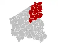
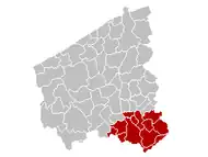
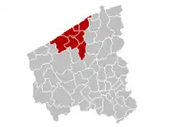
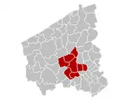
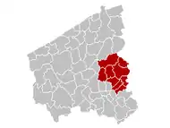
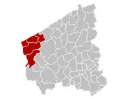
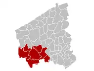
The province of West Flanders is divided into 8 arrondissements and a total of 64 municipalities.
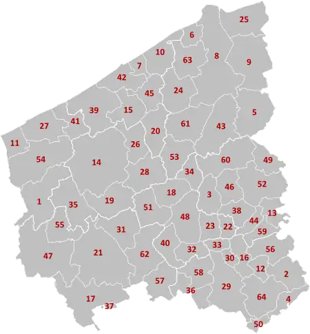
(names are in the following table)
| Bruges | Diksmuide | Kortrijk | Oostende |
|---|---|---|---|
|

|
|
|
| Roeselare | Tielt | Veurne | Ypres |
|
|
|
|
Population by arrondissement
Population x 1,000 (on 1 January since 1980).[6]
| Arrondissement | 1970 | 1980 | 1990 | 2000 | 2010 | 2020 |
|---|---|---|---|---|---|---|
| Bruges | 243 | 254 | 263 | 271 | 276 | 283 |
| Diksmuide | 48 | 48 | 47 | 48 | 50 | 52 |
| Kortrijk | 266 | 271 | 276 | 278 | 281 | 292 |
| Oostende | 129 | 133 | 137 | 142 | 151 | 158 |
| Roeselare | 141 | 136 | 137 | 140 | 145 | 154 |
| Tielt | 77 | 85 | 86 | 88 | 90 | 93 |
| Veurne | 48 | 48 | 53 | 56 | 60 | 62 |
| Ypres | 105 | 104 | 104 | 104 | 106 | 107 |
| Province of West Flanders | 1,054 | 1,078 | 1,102 | 1,128 | 1,159 | 1,201 |
References
- "Bodembezetting volgens het Kadasterregister". statbel.fgov.be.
- "Structuur van de bevolking". statbel.fgov.be.
- "Sub-national HDI - Area Database - Global Data Lab".
- Official name is Provincie West-Vlaanderen (Dutch).
- "WEST-VLAANDEREN". Portrait of the Regions. Retrieved 27 August 2013.
- Institut national de statistique - Direction générale Statistique et information économique
