Valley Ford, California
Valley Ford is a census-designated place and a unincorporated community in Sonoma County, California. It lies along California State Route 1 about 11 kilometers east of Bodega Bay, and lies 16 meters above sea level. At the 2020 census, 148 people lived there.[3]
Valley Ford, California
Fowlerville[1] | |
|---|---|
 Valley Ford in 2008 | |
 Location with Sonoma County, California | |
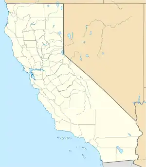 Valley Ford, California Location within the state of California | |
| Coordinates: 38°19′5″N 122°55′27″W | |
| Country | |
| State | |
| County | Sonoma |
| Area | |
| • Total | 2.642 sq mi (6.842 km2) |
| • Land | 2.642 sq mi (6.842 km2) |
| • Water | 0 sq mi (0 km2) |
| Elevation | 52 ft (16 m) |
| Population (2020)[3] | |
| • Total | 148 |
| • Density | 56/sq mi (22/km2) |
| Time zone | UTC-8 (PST) |
| • Summer (DST) | UTC-7 (PDT) |
| ZIP code | 94972 |
| Area code | 707 |
| FIPS code | 06-81778 |
| GNIS feature ID | 236972 |
References
- U.S. Geological Survey Geographic Names Information System: Valley Ford
- "2010 Census U.S. Gazetteer Files – Places – California". United States Census Bureau.
- "Valley Ford CDP, California". census.gov. United States Census Bureau. Retrieved June 9, 2022.
Municipalities and communities of Sonoma County, California, United States | ||
|---|---|---|
| Cities and towns |  Sonoma County map | |
| CDPs |
| |
| Unincorporated communities |
| |
| Indian reservations |
| |
This article is issued from Wikipedia. The text is licensed under Creative Commons - Attribution - Sharealike. Additional terms may apply for the media files.