The Woodlands, Texas
The Woodlands is a master planned community and census-designated place (CDP) in the U.S. state of Texas, in the Houston–The Woodlands–Sugar Land metropolitan area.
The Woodlands, Texas | |
|---|---|
 | |
 The Woodlands in Montgomery and Harris counties | |
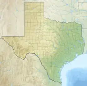 The Woodlands Location in Texas 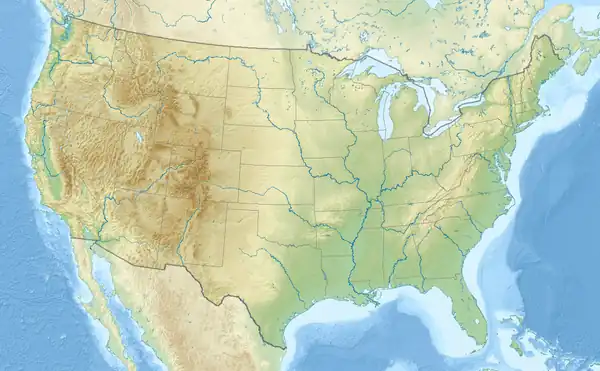 The Woodlands Location in the United States | |
| Coordinates: 30°10′39″N 95°30′14″W | |
| Country | |
| State | |
| Counties | Montgomery, Harris |
| Established | 1974 |
| Area | |
| • Census-designated place and special-purpose district | 43.9 sq mi (113.6 km2) |
| • Land | 43.3 sq mi (112.1 km2) |
| • Water | 0.6 sq mi (1.5 km2) |
| Elevation | 160 ft (50 m) |
| Population (2020)[1] | |
| • Census-designated place and special-purpose district | 114,436 |
| • Density | 2,644/sq mi (1,020.8/km2) |
| • Urban | 402,454 (US: 103rd)[2] |
| • Urban density | 1,836.5/sq mi (709.1/km2) |
| Time zone | UTC−6 (CST) |
| • Summer (DST) | UTC−5 (CDT) |
| Area code | 281/346/713/832/936 |
| FIPS code | 48-72656[3] |
| GNIS feature ID | 1867568[4] |
| Website | thewoodlandstownship-tx |
It is primarily located in Montgomery County, with parts going into Harris County.
In 2020, the population of The Woodlands was 114,436.[1]
References
- "Profile of General Population and Housing Characteristics: 2020 Demographic Profile Data (DP-1): The Woodlands CDP, Texas". United States Census Bureau. Retrieved February 8, 2024.
- United States Census Bureau (December 29, 2022). "2020 Census Qualifying Urban Areas and Final Criteria Clarifications". Federal Register.
- "U.S. Census website". United States Census Bureau. Retrieved January 31, 2008.
- "US Board on Geographic Names". United States Geological Survey. 2007-10-25. Retrieved January 31, 2008.
| Counties |  | |
|---|---|---|
| "Principal" cities | ||
| Other cities |
For a complete listing, see list of cities and towns in Houston–The Woodlands–Sugar Land MSA | |
| Unincorporated areas |
| |
| Bodies of water |
| |
Municipalities and communities of Harris County, Texas, United States | ||
|---|---|---|
| Cities |
|  Harris County map |
| CDPs |
| |
| Other unincorporated communities |
| |
| Footnotes | ‡This populated place also has portions in an adjacent county or counties
±water surface only in adjacent county | |
This article is issued from Wikipedia. The text is licensed under Creative Commons - Attribution - Sharealike. Additional terms may apply for the media files.