Texel
Texel is a municipality of the province of North Holland, the Netherlands. In 2016 the municipality had about 13,600 people. The municipality covers an area of 463 km², the island an area of 161 km².
Texel | |
|---|---|
 View of Texel | |
 Flag  Seal | |
 Texel | |
| Coordinates: 53°03′02.4″N 4°48′08.7″E | |
| Country | |
| Province | |
| Government | |
| • Mayor | Mark Pol |
| Area | |
| • Total | 162.0 km2 (62.5 sq mi) |
| Population (January 1, 2001) | |
| • Total | 13,534 |
| • Density | 83.54/km2 (216.4/sq mi) |
| Time zone | UTC+01:00 (CET) |
| Postal code(s) | 1790–1797 |
| Area code(s) | 0222 |
| CIN | 0448 |
| Website | Official website |
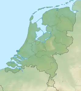
Texel makes part of the West Frisian Islands (Dutch: Waddeneilanden).
It lies southwest of the island of Vlieland and northeast of the small island of Noorderhaaks (part of the municipality of Texel).
Main town is Den Burg.
This article is issued from Wikipedia. The text is licensed under Creative Commons - Attribution - Sharealike. Additional terms may apply for the media files.
