Tabuaeran
Tabuaeran is one of the Line Islands of the central Pacific Ocean. It is an atoll. Tabueran is part of Kiribati. The highest point on the island is about 3 m (10 ft) above high tide.


Lagoon shoreline at Fanning
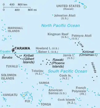
Map from CIA Factbook
Tabuaeran is the name in Gilbertese language. The island is also called Fanning Island or Fanning Atoll in English.
Other websites
- Map of Tabuaeran Archived 2012-10-24 at the Wayback Machine
- Fanning Island on Jane Resture's Oceania Home Page Archived 2017-09-06 at the Wayback Machine A strong resource including geography, history, photos, and links.
- Fanning-Island.com Archived 2003-06-08 at the Wayback Machine
- Ancient Polynesian remains
- Atoll Institute, proposed Field Station Archived 2009-06-22 at the Wayback Machine
- Edmund Fanning in Explorers of the Pacific by Buck (eText)
This article is issued from Wikipedia. The text is licensed under Creative Commons - Attribution - Sharealike. Additional terms may apply for the media files.