Pragelato
Pragelato is a comune in the Metropolitan City of Turin in the Piedmont region in Italy. It is about 60 kilometres (37 mi) west of Turin, in the upper Val Chisone.
Pragelato | |
|---|---|
| Comune di Pragelato | |
 | |
Location of Pragelato | |
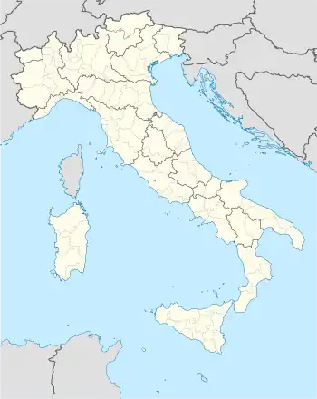 Pragelato Location of Pragelato in Italy 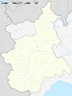 Pragelato Pragelato (Piedmont) | |
| Coordinates: 45°1′N 6°57′E | |
| Country | Italy |
| Region | Piedmont |
| Metropolitan city | Turin (TO) |
| Frazioni | La Ruà, Allevè, Chezal, Duc, Grand Puy, Granges, Jousseaud, Laval, Pattemouche, Plan, Rif, Rivets, Seytes, Troncea, Souchéres Basses, Souchère Haute, Traverses, Villardamond, Val Tronche, Tronchée |
| Government | |
| • Mayor | Giorgio Merlo |
| Area | |
| • Total | 89.20 km2 (34.44 sq mi) |
| Elevation | 1,518 m (4,980 ft) |
| Population | |
| • Total | 733 |
| • Density | 8.2/km2 (21/sq mi) |
| Demonym | Pragelatesi |
| Time zone | UTC+1 (CET) |
| • Summer (DST) | UTC+2 (CEST) |
| Postal code | 10060 |
| Dialing code | 0122 |
| Website | Official website |
It was the site of the cross-country skiing, ski jumping, and nordic combined events of the 2006 Winter Olympics. Together with the villages of Sestriere, Sauze d'Oulx, Claviere, Cesana Torinese, San Sicario and Montgenèvre, in France which makes up the Via Lattea (Milky Way) skiing area.
References
- "Superficie di Comuni Province e Regioni italiane al 9 ottobre 2011". Italian National Institute of Statistics. Retrieved 16 March 2019.
- All demographics and other statistics: Italian statistical institute Istat.
- "Popolazione Residente al 1° Gennaio 2018". Italian National Institute of Statistics. Retrieved 16 March 2019.
Other websites
Wikimedia Commons has media related to Pragelato.
- Pragelato official website (in Italian)
- Summer & Winter: Official Tourism Information
- Pragelato SKI - official website
This article is issued from Wikipedia. The text is licensed under Creative Commons - Attribution - Sharealike. Additional terms may apply for the media files.