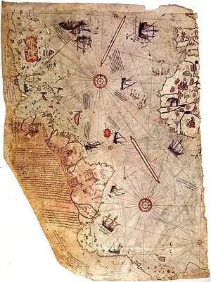
Piri Reis map
The Piri Reis map is a map of the world drawn on a parchment of gazelle skin by a Turk named Piri Reis (Hadji Muhiddin Piri Ibn Hadji Mehmed) in 1513. This map has been used to support claims for a pre-modern exploration of Antarctica.

Surviving fragment of the Piri Reis map showing the Central and South American coast. The appended notes say "the map of the western lands drawn by Columbus"[1]
This article is issued from Wikipedia. The text is licensed under Creative Commons - Attribution - Sharealike. Additional terms may apply for the media files.