Oosterhout
Oosterhout is a municipality in the Dutch province of North Brabant. In 2019, 55,616 people lived there.
Oosterhout | |
|---|---|
 View of Oosterhout | |
 Flag  Seal | |
 Oosterhout | |
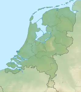
| Coordinates: 51°38′21.2″N 4°51′40.6″E | |
| Country | |
| Province | |
| Government | |
| • Mayor | Mark Buijs |
| Area | |
| • Total | 71.47 km2 (27.59 sq mi) |
| Population (January 1, 2001) | |
| • Total | 52,743 |
| • Density | 738.0/km2 (1,911/sq mi) |
| Time zone | UTC+01:00 |
| Postal code(s) | 4849, 4901–4909, 4911 |
| MCN | 0826 |
| Website | Official website |
Transport
In the city of Oosterhout there are a few ways to travel around.
There are two highways in Oosterhout.
- A59 (north of the city)
- A27 (west of the city)
Connecting west and east you have the road
- De Bovensteweg
Connecting north and south you have the roads
- Statendamweg
- Bredaseweg
Other websites
 Media related to Oosterhout at Wikimedia Commons
- Official website (in Dutch)

This article is issued from Wikipedia. The text is licensed under Creative Commons - Attribution - Sharealike. Additional terms may apply for the media files.