Muscogee County, Georgia
Muscogee County is a county located in the U.S. state of Georgia. Its western border with the state of Alabama is formed by the Chattahoochee River. As of the 2020 census, the population was 206,922.[1] Its county seat and only city is Columbus.[2]
Muscogee County | |
|---|---|
 Columbus Consolidated Government Center | |
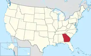
 Location within the U.S. state of Georgia | |
 Georgia's location within the U.S. | |
| Coordinates: 32°31′N 84°52′W | |
| Country | |
| State | |
| Founded | June 9, 1826 |
| Named for | Muscogee people |
| Seat | Columbus |
| Largest city | Columbus |
| Area | |
| • Total | 221 sq mi (570 km2) |
| • Land | 216 sq mi (560 km2) |
| • Water | 4.6 sq mi (12 km2) 2.1% |
| Population | |
| • Total | 206,922 |
| • Density | 958/sq mi (370/km2) |
| Time zone | UTC−5 (Eastern) |
| • Summer (DST) | UTC−4 (EDT) |
| Website | www |
References
- "QuickFacts: Muscogee County, Georgia". United States Census Bureau. Retrieved August 15, 2023.
- "Find a County". National Association of Counties. Retrieved 2011-06-07.

This article is issued from Wikipedia. The text is licensed under Creative Commons - Attribution - Sharealike. Additional terms may apply for the media files.