Mümliswil-Ramiswil
Mümliswil-Ramiswil is a municipality in the district Thal in the canton of Solothurn in Switzerland.
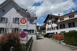
Mümliswil
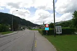
Ramiswil
Mümliswil-Ramiswil | |
|---|---|
 Coat of arms | |
Location of Mümliswil-Ramiswil | |
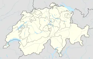 Mümliswil-Ramiswil 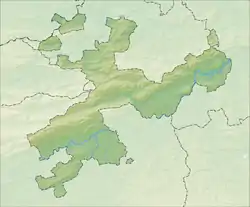 Mümliswil-Ramiswil | |
| Coordinates: 47°20′N 7°42′E | |
| Country | Switzerland |
| Canton | Solothurn |
| District | Thal |
| Area | |
| • Total | 35.48 km2 (13.70 sq mi) |
| Elevation | 556 m (1,824 ft) |
| Population (31 December 2018)[2] | |
| • Total | 2,441 |
| • Density | 69/km2 (180/sq mi) |
| Time zone | UTC+01:00 (Central European Time) |
| • Summer (DST) | UTC+02:00 (Central European Summer Time) |
| Postal code(s) | 4717 Mümliswil, 4719 Ramiswil |
| SFOS number | 2428 |
| Surrounded by | Aedermannsdorf, Balsthal, Beinwil, Holderbank, Langenbruck (BL), Laupersdorf, Lauwil (BL), Matzendorf, Reigoldswil (BL), Waldenburg (BL) |
| Website | www SFSO statistics |
References
- "Arealstatistik Standard - Gemeinden nach 4 Hauptbereichen". Federal Statistical Office. Retrieved 13 January 2019.
- "Bilanz der ständigen Wohnbevölkerung nach institutionellen Gliederungen, Staatsangehörigkeit (Kategorie), Geschlecht und demographischen Komponenten". Federal Statistical Office. Retrieved 12 January 2019.
Other websites
![]() Media related to Mümliswil-Ramiswil at Wikimedia Commons
Media related to Mümliswil-Ramiswil at Wikimedia Commons
- Official website (in German)
This article is issued from Wikipedia. The text is licensed under Creative Commons - Attribution - Sharealike. Additional terms may apply for the media files.