Los Olivos, California
Los Olivos (/loʊs oʊˈliːvoʊs/;[4] Spanish for The Olive Trees) is an unincorporated community in the Santa Ynez Valley of Santa Barbara County, California, United States.
Los Olivos | |
|---|---|
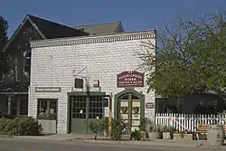 Downtown Los Olivos | |
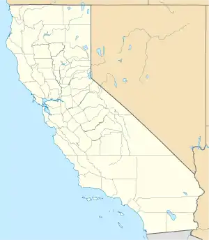 Los Olivos Position in California. | |
| Coordinates: 34°39′50″N 120°07′03″W | |
| Country | |
| State | |
| County | Santa Barbara |
| Area | |
| • Total | 2.459 sq mi (6.369 km2) |
| • Land | 2.459 sq mi (6.368 km2) |
| • Water | 0.000 sq mi (0.001 km2) 0.02% |
| Elevation | 807 ft (246 m) |
| Population (2020)[3] | |
| • Total | 1,202 |
| • Density | 490/sq mi (190/km2) |
| Time zone | UTC-8 (Pacific (PST)) |
| • Summer (DST) | UTC−7 (PDT) |
| ZIP Code | 93441 |
| Area code | 805 |
| GNIS feature ID | 2583064 |
| U.S. Geological Survey Geographic Names Information System: Los Olivos, California | |
References
- "U.S. Census". Archived from the original on 2012-07-02. Retrieved 2021-10-25.
- U.S. Geological Survey Geographic Names Information System: Los Olivos, California
- "Los Olivos CDP, California". United States Census Bureau. Retrieved August 28, 2023.
- White, Ted (2005). Broadcast News: Writing, Reporting, and Producing (4th ed.). Focal Press. p. 123. ISBN 0-240-80659-X.
Municipalities and communities of Santa Barbara County, California, United States | ||
|---|---|---|
| Cities |  Santa Barbara County map | |
| CDPs |
| |
| Unincorporated communities |
| |
| Indian reservation |
| |
| Ghost towns |
| |
This article is issued from Wikipedia. The text is licensed under Creative Commons - Attribution - Sharealike. Additional terms may apply for the media files.