Crestmore Heights, California
Crestmore Heights was a census-designated place (CDP) in Riverside County, California. It is now part of Jurupa Valley.
Crestmore Heights | |
|---|---|
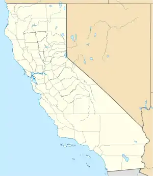 Crestmore Heights Position in California | |
| Coordinates: 34°01′48″N 117°23′45″W | |
| Country | |
| State | |
| County | Riverside |
| Area | |
| • Total | 0.288 sq mi (0.745 km2) |
| • Land | 0.288 sq mi (0.745 km2) |
| • Water | 0 sq mi (0 km2) 0% |
| Elevation | 1,033 ft (315 m) |
| Population (2010) | |
| • Total | 384 |
| • Density | 1,300/sq mi (520/km2) |
| Time zone | UTC-8 (Pacific (PST)) |
| • Summer (DST) | UTC-7 (PDT) |
| GNIS feature ID | 2629130 |
References
Municipalities and communities of Riverside County, California, United States | ||
|---|---|---|
| Cities |  Riverside County map | |
| CDPs |
| |
| Unincorporated communities |
| |
| Indian reservations |
| |
| Ghost towns |
| |
This article is issued from Wikipedia. The text is licensed under Creative Commons - Attribution - Sharealike. Additional terms may apply for the media files.