Yad Binyamin
יַד בִּנְיָמִין | |
|---|---|
 | |
| Etymology: Binyamin Memorial | |
 Yad Binyamin 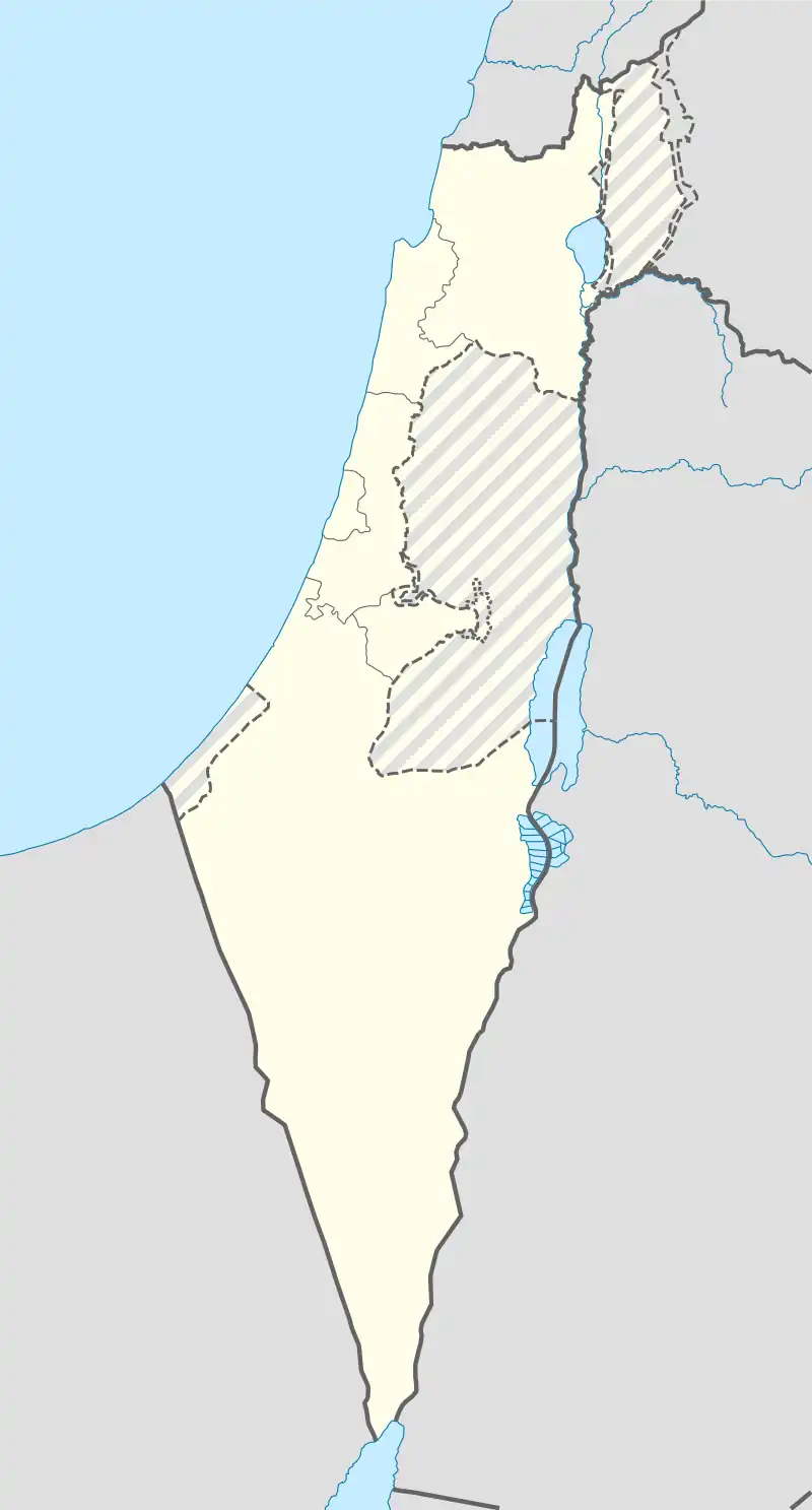 Yad Binyamin | |
| Coordinates: 31°47′50″N 34°49′17″E / 31.79722°N 34.82139°E | |
| Country | Israel |
| District | Central |
| Council | Nahal Sorek |
| Founded | 1962 |
| Population (2021)[1] | 4,272 |
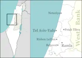
Yad Binyamin (Hebrew: יַד בִּנְיָמִין, lit. Binyamin Memorial)[2] is a community settlement in central Israel. The seat of Nahal Sorek Regional Council, it is located adjacent to the junction of three major highways: Highway 3, Highway 6, and Highway 7. In 2021 it had a population of 4,272.[1]
History
Yad Binyamin was founded on the land of the depopulated Palestinian village of Al-Mukhayzin.[3] The land had been used as a Ma'abara Nativa which was abandoned as a religious settlement and educational center in 1962 by Poalei Agudat Yisrael, in partnership with the municipality of Nahal Sorek.[4] It was named after the former Minister of Postal Services, Binyamin Mintz, who had died the previous year.[5] For many years, the community was a center of higher Jewish learning, based around the yeshiva.
Following the disengagement plan, around 200 families from Gush Katif moved into temporary pre-fabricated housing in Yad Binyamin. Some later moved to a new village named Ganei Tal after the former settlement by the same name.[6] Many other families have moved to Netzer Hazani.[7]
The community has a neighborhood, called Ahuzat Yonatan, that is for people ages 55 and older. The neighborhood has approximately 160 apartments as well as a shared building containing a synagogue.[8]
Transportation
Yad Binyamin is located 3 kilometres (1.9 mi) from the Re'em Junction on Highway 3, and one kilometer from the intersection of Highway 6 and Highway 7. In September 2018, Israel Railways opened the nearby Kiryat Malachi-Yoav station, connecting the area to the Nahariyah–Beersheba line.[9] A number of Egged bus routes provide transport links to Jerusalem, Ashkelon, and other cities.
References
- 1 2 "Regional Statistics". Israel Central Bureau of Statistics. Retrieved 22 February 2023.
- ↑ For the derivation of "yad" (normally "hand") meaning a memorial, see "Yad". Archived from the original on 2022-12-26. Retrieved 2023-09-06.
- ↑ Khalidi, W. (1992). All That Remains: The Palestinian Villages Occupied and Depopulated by Israel in 1948. Washington D.C.: Institute for Palestine Studies. p. 398. ISBN 0-88728-224-5. Archived from the original on 2023-03-20. Retrieved 2018-09-18.
- ↑ "ישוב קהילתי יד בנימין, גדרות". אתר הבית (in Hebrew). 2021-11-02. Archived from the original on 2022-11-14. Retrieved 2022-11-14.
- ↑ Jung, Leo (1992). Schacter, Jacob J. (ed.). Reverence, Righteousness, and Rahamanut: Essays in Memory of Rabbi Dr. Leo Jung. J. Aronson. ISBN 9780876685914.
- ↑ Lazaroff, Tovah; Cashman, Greer Fay (November 7, 2005). "1,100 evacuee families to stay together". The Jerusalem Post. Archived from the original on April 25, 2019. Retrieved April 24, 2019.
- ↑ Shomron, Shifra (October 5, 2013). "New Beginnings: Netzer Harani". The Jewish Press. Archived from the original on April 25, 2019. Retrieved April 24, 2019.
- ↑ "Ahuzat Yonatan | Yad Binyamin". Ahuzat Yonatan sales page. Retrieved 19 December 2023.
- ↑ "נפתחה תחנת הרכבת מלאכי יואב". מועצה אזורית נחל שורק (in Hebrew). 2018-09-18. Retrieved 2019-07-24.