| Wiss Platte | |
|---|---|
| Weissplatte | |
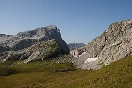 The north side | |
| Highest point | |
| Elevation | 2,628 m (8,622 ft) |
| Prominence | 283 m (928 ft)[1] |
| Parent peak | Madrisa |
| Isolation | 2.3 km (1.4 mi) |
| Coordinates | 47°00′34″N 9°52′16″E / 47.00944°N 9.87111°E |
| Geography | |
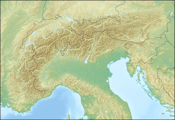 Wiss Platte Location in the Alps | |
| Location | Graubünden, Switzerland Vorarlberg, Austria |
| Parent range | Rätikon |
The Wiss Platte (also known as Weissplatte or Weißplatte) is a mountain in the Rätikon range of the Alps, located on the border between Austria and Switzerland. It lies between Schruns (Vorarlberg) and St. Antönien (Graubünden).
References
External links
Wikimedia Commons has media related to Weißplatte (Rätikon).
This article is issued from Wikipedia. The text is licensed under Creative Commons - Attribution - Sharealike. Additional terms may apply for the media files.