| Westaue | |
|---|---|
 | |
| Location | |
| Country | Germany |
| State | Lower Saxony |
| Physical characteristics | |
| Source | |
| • location | Confluence of the Rodenberger Aue and the Sachsenhäger Aue |
| • coordinates | 52°24′22″N 9°19′22″E / 52.4062°N 9.3229°E |
| Mouth | |
• location | Leine |
• coordinates | 52°27′16″N 9°28′06″E / 52.45444°N 9.46833°E |
| Length | 30.2 km (18.8 mi) [1] |
| Basin size | 595 km2 (230 sq mi) [1] |
| Basin features | |
| Progression | Leine→ Aller→ Weser→ North Sea |
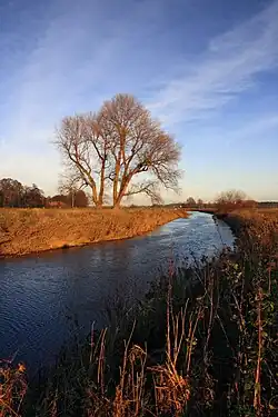
Westaue is a river of Lower Saxony, Germany. It springs from the confluence of the Rodenberger Aue and the Sachsenhäger Aue.[2] It flows into the Leine north of Wunstorf.[3]
See also
References
- 1 2 Environmental map service of Lower Saxony (Umweltkartendienst des Niedersächsischen Ministeriums für Umwelt, Energie und Klimaschutz)
- ↑ Google (15 April 2019). "Source of the Westaue" (Map). Google Maps. Google. Retrieved 15 April 2019.
- ↑ Google (15 April 2019). "Mouth of the Westaue" (Map). Google Maps. Google. Retrieved 15 April 2019.
This article is issued from Wikipedia. The text is licensed under Creative Commons - Attribution - Sharealike. Additional terms may apply for the media files.