 Bay of Yalobi | |
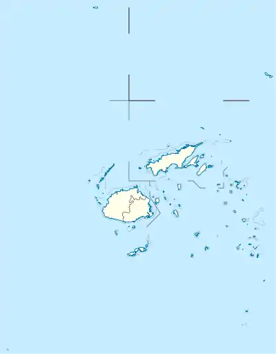
 Waya Location in Fiji | |
| Geography | |
|---|---|
| Location | Pacific Ocean |
| Coordinates | 17°17′04″S 177°07′38″E / 17.2844°S 177.1273°E |
| Archipelago | Yasawa Islands |
| Area | 22 km2 (8.5 sq mi)[1] |
| Length | 6 km (3.7 mi)[1] |
| Width | 4 km (2.5 mi)[1] |
| Highest elevation | 571 m (1873 ft)[1] |
| Administration | |
Fiji | |
| Demographics | |
| Population | 400 [1] |
Waya is an island in the southern part of the Yasawa Islands of Fiji. The island is part of Ba Province in the country's Western Division. Waya lies about 40 kilometres (25 mi) from Lautoka.[1]
Geography
Waya is densely wooded[1] with abundant natural water springs.[2] There are four villages: Nalauwaki, Natawa, Waya Levu and Yalobi.[2]
The island has the highest point in the Yasawa Group, at 571 metres (1,873 ft). Another island peak is 500 metres (1,600 ft) tall.[1]
References
This article is issued from Wikipedia. The text is licensed under Creative Commons - Attribution - Sharealike. Additional terms may apply for the media files.