Wapsie, Iowa | |
|---|---|
unincorporated community | |
 Wapsie, Iowa | |
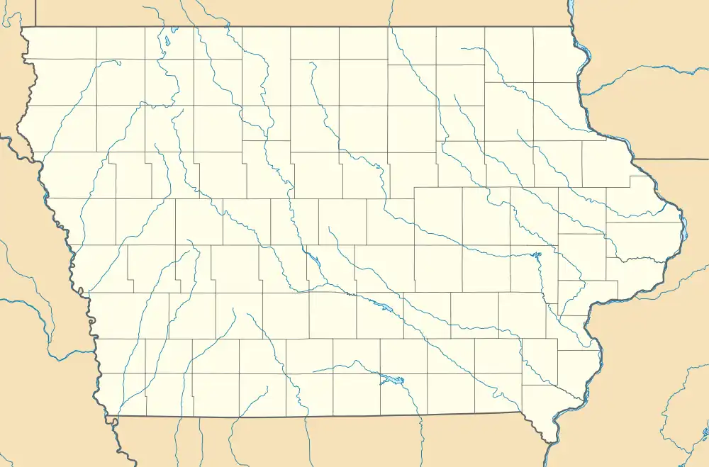
| Coordinates: 42°42′54″N 92°11′58″W / 42.71500°N 92.19944°W | |
| Country | United States |
| State | Iowa |
| County | Bremer |
| Elevation | 1,030 ft (310 m) |
| Time zone | UTC-6 (Central (CST)) |
| • Summer (DST) | UTC-5 (CDT) |
Wapsie is an unincorporated community in Franklin Township in Bremer County, Iowa, United States.
History

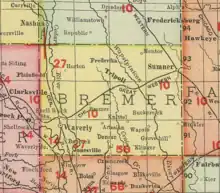
Wapsie in Bremer County, Iowa, in 1903
Wapsie was founded one mile west of the banks of the Wapsipinicon River. The Wapsie post office opened on October 10, 1890, and closed on January 14, 1905.[1]
Wapsie's population was 25 in 1887,[2] was 27 in 1902,[3] and was 21 in 1917.[4]
The community of Wapsie in Bremer County is not to be confused with the town of Bailey, formerly known as Wapsie, in Mitchell County; both communities were near the Wapsipinicon River, but in different parts of the state.
References
- ↑ "GNIS Detail - Wapsie Post Office (historical)". geonames.usgs.gov. Retrieved 2021-07-25.
- ↑ Cram, George Franklin (1887). Cram's Universal Atlas: Geographical, Astronomical and Historical, Containing a Complete Series of Maps of Modern Geography, Illustrated by Numerous Views and Charts ; the Whole Supplemented with Valuable Statistics, Diagrams, and a Complete Gazetteer of the United States. G.F. Cram. pp. 367–369.
- ↑ Cram's Modern Atlas: The New Unrivaled New Census Edition. J. R. Gray & Company. 1902. pp. 203–207.
- ↑ Atlas of Johnson County, Iowa, 1917 :: Iowa Counties Historic Atlases. pp. 63–66.
External links
This article is issued from Wikipedia. The text is licensed under Creative Commons - Attribution - Sharealike. Additional terms may apply for the media files.