| Waka Wañusqa | |
|---|---|
 Waka Wañusqa | |
| Highest point | |
| Elevation | 4,460 m (14,630 ft)[1] |
| Coordinates | 20°52′51″S 65°59′23″W / 20.88083°S 65.98972°W |
| Geography | |
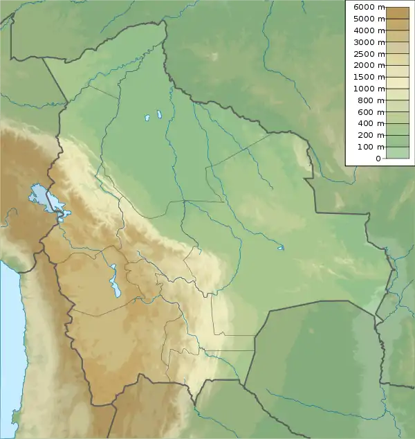
| Location | Bolivia Potosí Department |
| Parent range | Andes |
Waka Wañusqa (Quechua waka cow, wañusqa died, dead,[2] "cow died" or "dead cow", also spelled Huaca Huanuskha) is a mountain in the Andes of Bolivia which reaches a height of approximately 4,460 m (14,630 ft). It is located in the Potosí Department, Nor Chichas Province, Cotagaita Municipality.[1][3]
References
- 1 2 Bolivian IGM map 1:50,000 Comunidad Caiti 6431-III
- ↑ Teofilo Laime Ajacopa (2007). Diccionario Bilingüe: Iskay simipi yuyayk’anch: Quechua – Castellano / Castellano – Quechua (PDF). La Paz, Bolivia: futatraw.ourproject.org.
- ↑ "Cotagaita". INE, Bolivia. Retrieved March 3, 2016.
Capital: Potosí | ||
| Provinces |  | |
| Municipalities (and seats) |
| |
This article is issued from Wikipedia. The text is licensed under Creative Commons - Attribution - Sharealike. Additional terms may apply for the media files.