| Volcan del Viento | |
|---|---|
| Gendarme Argentino 2 | |
 Volcan del Viento Argentina | |
| Highest point | |
| Elevation | 6,028 m (19,777 ft) |
| Prominence | 452 metres (1,483 ft)[1] |
| Parent peak | Ojos del Salado |
| Coordinates | 27°11′27.95″S 068°28′24.23″W / 27.1910972°S 68.4733972°W |
| Geography | |
| Parent range | Argentinean Andes, Andes, Andean Volcaninc Belt |
| Climbing | |
| First ascent | 12/01/1988 - Claudio Bravo, Luis Salinas (Argentina)[2] |
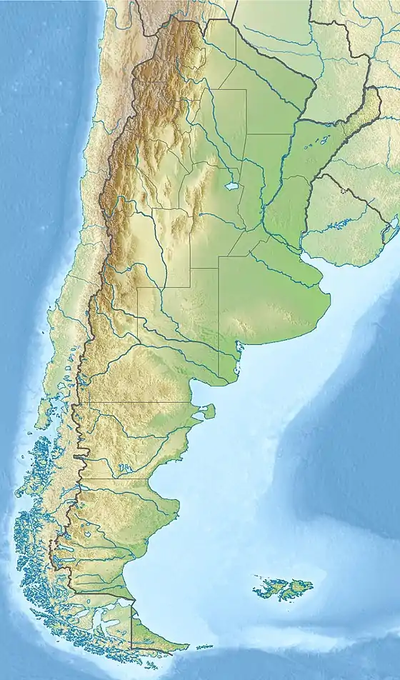
Volcan del Viento also called Gendarme Argentino 2 is a remote mountain in Argentina with an elevation of 6,028 metres (19,777 ft) metres.[3][4] Volcan del Viento is within the following mountain ranges: Argentinean Andes, Puna de Atacama and Andean Volcaninc Belt (Central Part). It is located at the Argentinean province of Catamarca. Its slopes are entirely within the territory of the Argentinean city of Fiambalá.[3]
First ascent
The first ascent was reported on February 7, 1937, by Justyn Wojsznis, leader of the Second Polish Andean Expedition[5] Another claim of first ascent has been made several decades later: that Volcan del Viento was first climbed by Claudio Bravo, Luis Salinas (Argentina) on January 12, 1988.[2]
Elevation
Other data from available digital elevation models: SRTM yields 6009 metres,[6] ASTER 5987 metres,[7] ASTER filled 6009 metres,[8] ALOS 5987 metres,[9] TanDEM-X 6049 metres.[10] The height of the nearest key col is 5576 meters, leading to a topographic prominence of 452 meters.[11] Volcan del Viento is considered a Mountain according to the Dominance System [12] and its dominance is 7.5%. Its parent peak is Ojos del Salado and the Topographic isolation is 11.3 kilometers.[11]
References
- ↑ "Volcan del Viento / Gendarme Argentino 2". Andes Specialists. Retrieved 2020-04-12.
- 1 2 "Boletin CAT Nro 4". Boletin CAT Nro 4: 19. April 1989.
- 1 2 "Capas SIG | Instituto Geográfico Nacional". www.ign.gob.ar. Retrieved 2020-04-30.
- ↑ Biggar, John (2020). The Andes a guide for climbers (5th ed.). Castle Douglas, Scotland. ISBN 978-0-9536087-7-5. OCLC 1260820889.
{{cite book}}: CS1 maint: location missing publisher (link) - ↑ Marek, Aneta (2016). "Andy jako rejon eksploracji górskiej Polaków do 1989 r." (PDF). Słupskie Prace Geograficzne (in Polish). 13: 83–104. Archived from the original (PDF) on 16 June 2023.
- ↑ "Digital Elevation - SRTM Coverage Maps". USGS EROS Archive. Retrieved 12 April 2020.
- ↑ "ASTER GDEM Project". ssl.jspacesystems.or.jp. Retrieved 2020-04-14.
- ↑ "MADAS(METI AIST Data Archive System)". Retrieved 2020-04-14.
- ↑ "ALOS GDEM Project". ALOS EORC Jax Japan. Retrieved 2020-04-14.
- ↑ TanDEM-X, TerraSAR-X. "Copernicus Space Component Data Access". Retrieved 12 April 2020.
- 1 2 "Volcan del Viento / Gendarme Argentino 2". Andes Specialists. Retrieved 2020-04-12.
- ↑ "Dominance - Page 2". www.8000ers.com. Retrieved 2020-04-12.