Voëlklip | |
|---|---|
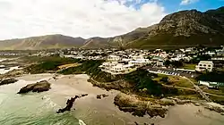 Voëlklip, with Voëlklip Beach in foreground | |
 Voëlklip 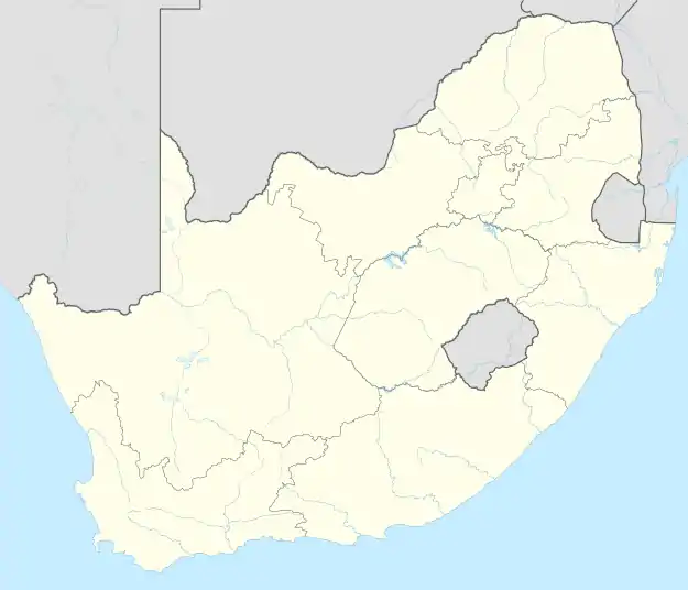 Voëlklip | |
| Coordinates: 34°24′S 19°16′E / 34.400°S 19.267°E | |
| Country | South Africa |
| Province | Western Cape |
| District | Overberg |
| Municipality | Overstrand |
| Area | |
| • Total | 2.84 km2 (1.10 sq mi) |
| Elevation | 7.5 m (24.6 ft) |
| Population (2011)[1] | |
| • Total | 1,156 |
| • Density | 410/km2 (1,100/sq mi) |
| Time zone | UTC+2 (SAST) |
Voëlklip, Western Cape is a settlement, a suburb of Hermanus, in Overberg District Municipality in the Western Cape province of South Africa.
References
- 1 2 "Sub Place Voëlklip". Census 2011.
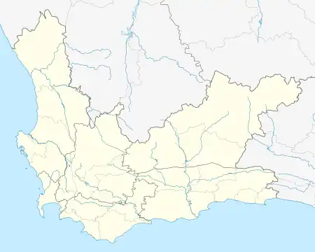
Municipalities and communities of Overberg District Municipality, Western Cape | ||
|---|---|---|
District seat: Bredasdorp | ||
| Cape Agulhas | .svg.png.webp) Overberg District within South Africa | |
| Overstrand | ||
| Swellendam | ||
| Theewaterskloof | ||
This article is issued from Wikipedia. The text is licensed under Creative Commons - Attribution - Sharealike. Additional terms may apply for the media files.